What is recorded here
Mortals may have built the ringfort, but the fairies took it back and never left. They still dance inside the earthen banks at Shanaclogh, dragging men into their circles until the stars wheel overhead. The dumped boulders mark the places where human feet slipped beneath the grass. What looks like ruins is actually a threshold, waiting for someone stubborn enough to cross it.
In pasture, on gentle SE-facing slope. Circular area (29.7m N-S; 30.8m E-W) enclosed to S and SE by two earthen banks with intervening fosse; external fosse (D 1m). Berm (Wth 5m) replaces intervening fosse and outer bank to W and N; large earthen bank (H 2.6m) replaces both banks to NE. Large boulders dumped in outer fosse to W and N. Cultivation ridges cross interior on NNW-SSE axis.
The above description is derived from the published 'Archaeological Inventory of County Cork. Volume 1: West Cork' (Dublin: Stationery Office, 1992). In certain instances the entries have been revised and updated in the light of recent research.
Date of upload/revision: 14 January 2009
The monument record does not grant public access. Check the route and ask the landowner before entering private land.
- What survives
- Recorded monument
Places near here
 Kill Burial Ground (Disused)Burial ground · 1195 yd
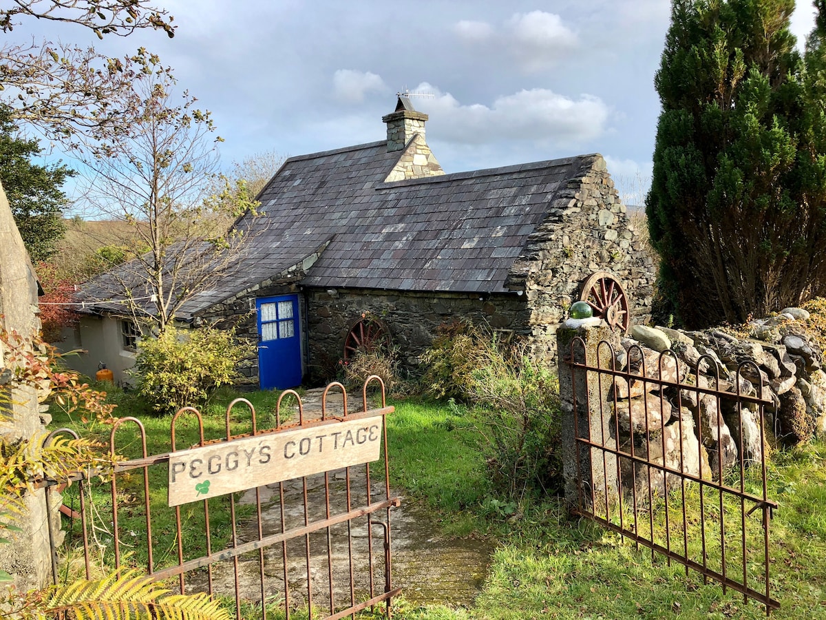 Hut site in Cappeen EastHut site · 1534 yd
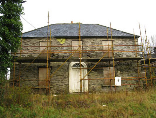 Tower Viewhouse · 1.2 mi
 St Bartholomew's Church of Ireland Churchchurch/chapel · 1.3 mi
 Castle RockNamed rock · 2.2 mi
 Green HillMountain / peak · 2.5 mi
 Irish National Forestry FoundationNature reserve · 3.8 mi
 The GlenWood · 4.0 mi
 OCrowleys Castle (in Ruins)Castle, tower house · 4.3 mi
 Michael Collins MemorialMemorial · 4.8 mi
 Castle DerryCastle · 4.9 mi
 Kilmichael Ambush SiteMonument · 5.2 mi