What is recorded here
No visible fort exists at Sedenrath because the land erased it. A ghost circle forty metres wide still presses beneath the soil, its shallow ditch marking where human hands once cut through living earth. The field bank severed the western edge, yet the missing half remains implied in the shape of the damage. What disappeared is not loss but transformation, waiting for rain or roots to reveal the truth they already know.
Located on a slight S-facing slope. The cropmark of a circular enclosure (diam. c. 40m) defined by a single continuous fosse (Wth c. 3-4m) is visible on Apple Maps, which utilises a survey conducted by Bluesky International during June 2018. It is truncated by a NNE-SSW field bank at W and is not visible W of that feature. The enclosure (ME017-067----) is c. 50m to the SE. The rath is also visible on Google Earth (12/07/2013; 02/07/2018). Enclosure (ME017-064----) is c. 150m to the NE. It was first reported by Anthony Murphy and was also noted by Jean Charles Caillere.
See the attached enhanced aerial view from Apple Maps
Compiled by: Michael Moore
Date of upload: 27 January 2020
Amended: 10 March 2020
The monument record does not grant public access. Check the route and ask the landowner before entering private land.
- What survives
- Recorded monument
Places near here
 Enclosure in SedenrathEnclosure · 99 yd
 Dempsey WoodWood · 484 yd
 Eel Weir IslandWood · 690 yd
 Castle ruinsCastle · 748 yd
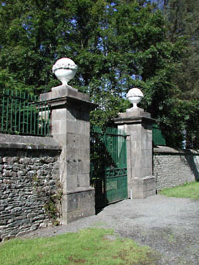 Headfort Housedemesne walls/gates/railings · 884 yd
 FirtFairy fort / earthen ringfort · 1225 yd
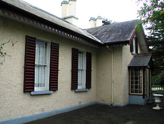 Kenlis Lodgehouse · 1.4 mi
 Kells Anglers Association MemorialMemorial · 1.5 mi
 Saint John's CemeteryMemorial · 1.5 mi
 BalreaskMountain / peak · 1.6 mi
 CastleCastle, unclassified · 1.7 mi
 BallybegMountain / peak · 2.3 mi