What is recorded here
Fairy fort / earthen ringfort in Scregg (athlone North By.) is a fairy fort or earthen ringfort in Scregg (athlone North By.), County Roscommon, Ireland. It occupies a circular grass-covered area at the bottom of a north-facing slope, defined by an earthen bank that reduces to a scarp on the interior in parts. A north-south field wall now crosses the site east of the centre, while another rath lies two hundred metres to the north.
At the bottom of a N-facing slope. Circular grass-covered area (diam. 33.7m E-W; 32.3m N-S) defined by an earthen bank (Wth 3.8-4.2m; H 0.1-0.2m), which is reduced to a scarp down to the interior (H 0.4m) SE-W-NW. There is no visible fosse or identifiable original entrance, but it is overlain by a N-S field wall E of the centre. Rath (RO042-058----) is c. 200m to the N.
Compiled by: Michael Moore
Date of upload: 24 August 2010
The monument record does not grant public access. Check the route and ask the landowner before entering private land.
- What survives
- Recorded monument
Places near here
 Scregg Housecountry house · 212 yd
 CastleCastle, tower house · 300 yd
 Embanked enclosureFairy fort / earthen ringfort · 543 yd
 Not inidcatedFairy fort / earthen ringfort · 599 yd
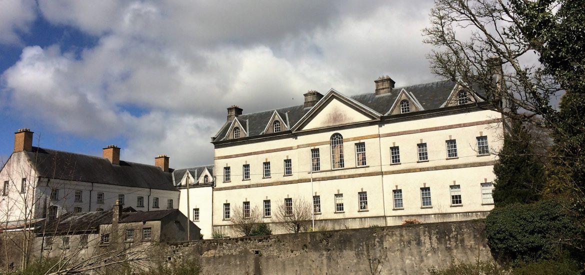 IndicatedCastle, unclassified · 1.3 mi
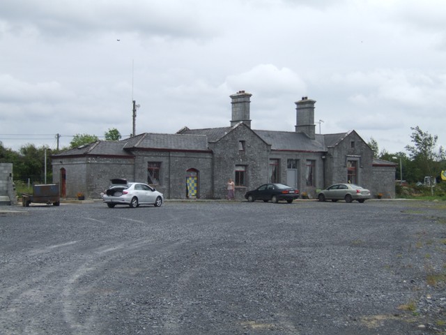 Knockcroghery Railway Stationrailway station · 1.5 mi
 Hangman's HillMountain / peak · 1.7 mi
 Galey BayBay · 2.5 mi
 InchmoreIslet · 2.6 mi
 InchihicleleyIslet · 3.0 mi
 Blackbrink BayBay · 3.1 mi
 Ballymurray ForestForest · 3.2 mi