What is recorded here
Fairy fort in Sarue, County Cork: a 45-metre earthen ring with a 3.8-metre bank, outside ditch and eastern gap, still holding a possible lime kiln and hut trace. It is the kind of place where ordinary pasture stops pretending to be empty. People may have lived, burned lime or feared what the bank was keeping out; the earth has stopped answering that part.
In pasture, on break in N-facing slope. Circular area (43.7m N-S; 45.9m E-W) enclosed by earthen bank (H c. 3.8m), with external fosse (D 2.2m); low outer bank. Break in inner bank to E (Wth 5m). Remains of possible lime kiln (CO134-017001-) in W bank. Circular hut site (7.1m N-S; 12.6m E-W) (CO134-017002-) in SW quadrant.
The above description is derived from the published 'Archaeological Inventory of County Cork. Volume 1: West Cork' (Dublin: Stationery Office, 1992). In certain instances the entries have been revised and updated in the light of recent research.
Date of upload/revision: 14 January 2009
The monument record does not grant public access. Check the route and ask the landowner before entering private land.
- What survives
- Recorded monument
Places near here
 KilnKiln, lime · 87 yd
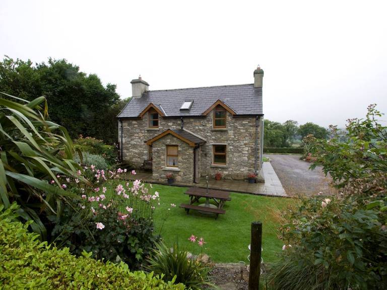 Man-made underground passage in SarueMan-made underground passage · 1001 yd
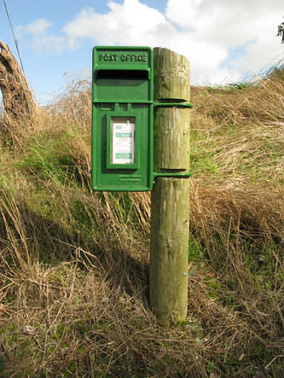 post boxpost box · 1335 yd
 Stone circle ( Glanbrack )Archaeological place · 1420 yd
 Jeremiah O'Donovan RossaMemorial · 1.2 mi
 Cross commemorating Holy Day.Memorial · 2.3 mi
 CarrigfaddaMountain / peak · 2.4 mi
 Clasharusheen Mansion (Site of)Castle, unclassified · 2.8 mi
 Michael Collins BirthplaceHistoric birthplace · 3.0 mi
 Castle SalemCastle · 3.1 mi
 Mohona WoodWood · 5.2 mi
 Castle Freke WoodsForest · 5.3 mi