What is recorded here
Two earthen rings and a shadowy ditch circle a forgotten life in Sackville. The inner wall still stands tall enough to block the horizon, while the outer ring fades into the grass like a promise half-kept. A gap faces north, inviting entry into a chamber now empty except for wind, memory and the pressure of unseen witnesses.
Internal diameter 39m N-S, 38m E-W
This bivallate rath is situated in the corner of a large pastoral field, and an extensive view is afforded in all directions. It consists of a circular area enclosed by two banks and an intervening fosse. The inner enclosing earthen bank rises to a maximum of 1.6m above the interior and 2.8m above the fosse. The fosse is well defined and on average 3.2m wide. The outer bank is not as well preserved as the inner bank, though it is still quite distinguishable. It rises to an average of 1.4m above the fosse and 1.8m above the external ground level. A c 4m wide entrance exists in the inner bank to the N, though there is no corresponding gap in the outer bank. The overall diameter of this site is 76m both N-S and E-W.
The above description is derived from C. Toal, ‘North Kerry Archaeological Survey’. Dingle. Brandon in association with FAS Training and Employment Authority (1995), no. 709. In certain instances the entries have been revised and updated in the light of recent research.
Date of upload: 2 August 2013
The monument record does not grant public access. Check the route and ask the landowner before entering private land.
- What survives
- Recorded monument
Places near here
 Abbey (in ruins)Religious house, Franciscan friars · 562 yd
 Ardfert FriaryVisitor information · 575 yd
 Ardfert Franciscan FriaryVisitor information · 581 yd
 Purseman's FortArchaeological place · 887 yd
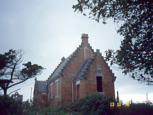 Ardfert Parish Roomchurch hall/parish hall · 947 yd
 CastleCastle, unclassified · 1038 yd
 15th Centenary of the birth of St-BredanMemorial · 1060 yd
 Ardfert CathedralHeritage attraction · 1074 yd
 Statue of Roger CasementMemorial · 1110 yd
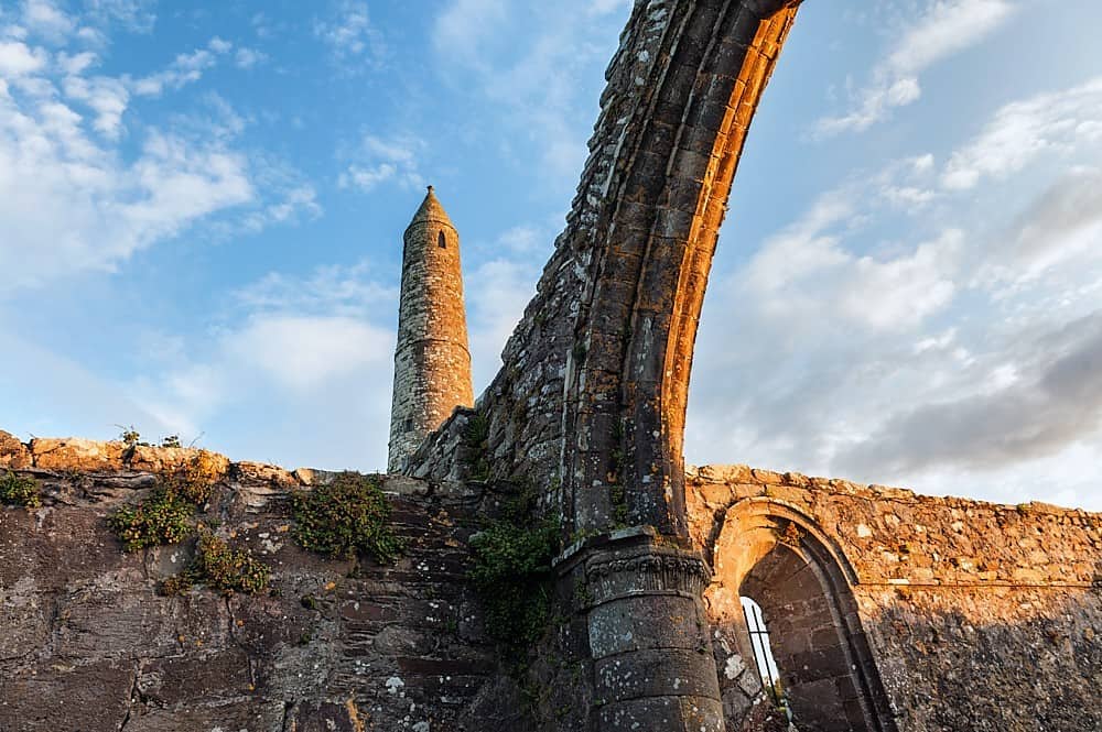 Site of Round TowerRound tower · 1114 yd
 Site of CastleCastle, unclassified · 1.5 mi
 Tobar na MoltSpring · 1.8 mi