What is recorded here
Fairy fort / earthen ringfort in Rue is a fairy fort or earthen ringfort in Rue, County Sligo, Ireland. It occupies pasture on a low rise and contains a raised oval area measuring forty metres north east to south west and thirty-five metres north west to south east. A flat-topped earthen bank surrounds the space with numerous gaps, while a man-made underground passage cuts through the south west quadrant.
In pasture, on a low rise. A raised oval area (int. diam. 40m NE-SW; 35m NW-SE) defined by a flat-topped earthen bank (Wth 4.2m; int. H 0.6m; ext. H 1.6m) SE-E with numerous gaps and by a scarp (H 1.7m) E-SE. The bank is topped NE-E by a drystone field boundary wall and at NW by the foundations of a stone wall. The interior slopes gently down to NE. There is a Man-made underground passage (SL037-051002-) in the SW quadrant.
The above description is derived from the published 'Archaeological Inventory of County Sligo' compiled by Ursula Egan, Elizabeth Byrne, Mary Sleeman with Sheila Ronan and Connie Murphy (Dublin Stationery Office, 2005).
Date of upload: 18 January 2008
The monument record does not grant public access. Check the route and ask the landowner before entering private land.
- What survives
- Recorded monument
Places near here
 IndicatedFairy fort / earthen ringfort · 449 yd
 Ballyara Castle (in Ruins)Castle, unclassified · 1233 yd
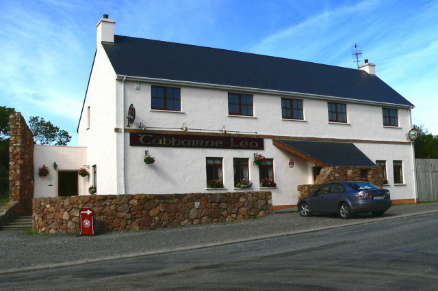 Fulacht fia in Ballyara OR FalduffFulacht fia · 1417 yd
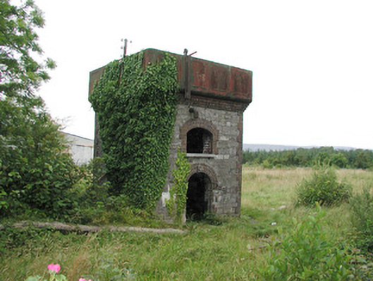 Tobercurry Railway Stationbuilding misc · 1.4 mi
 Castle (Site of)Castle, unclassified · 1.5 mi
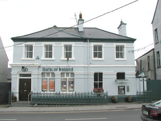 Bank of Irelandbank/financial institution · 1.5 mi
 Muckelty HillMountain / peak · 3.9 mi
 Tawnyart WoodWood · 4.2 mi
 New WoodWood · 4.5 mi
 Old Cave Burial GroundArchaeological place · 4.9 mi
 Mass RockNamed rock · 5.7 mi
 Lough Talt TrailVisitor information · 6.9 mi