What is recorded here
Half a road away, the fort keeps its own edge. A man may have driven a cart through the western gap, broken the ancient line and never known he was cutting a living thing in two. The fairies lost half their room, but they did not leave. They still own the remaining curve, waiting for the road to admit what it did.
Internal diam. 23.4m. Now a D-shaped space truncated by a road to the W. It is enclosed by an earthen bank up to 1.5m in height and an external fosse. A gap in the S may have been the original entrance. It is situated on a platform, probably artificially created by levelling the crest of the hill. There are excellent views over the Erne valley.
The above description was derived from the 'Archaeological Survey of County Donegal. A description of the field antiquities of the County from the Mesolithic Period to the 17th century.' Compiled by: Brian Lacey with Eamon Cody, Claire Cotter, Judy Cuppage, Noel Dunne, Vincent Hurley, Celie O'Rahilly, Paul Walsh and Seán Ó Nualláin (Lifford: Donegal County Council, 1983). In certain instances the entries have been revised and updated.
Date of upload: 22 September 2008
The monument record does not grant public access. Check the route and ask the landowner before entering private land.
- What survives
- Recorded monument
Places near here
 Rowantreehill Househouse · 255 yd
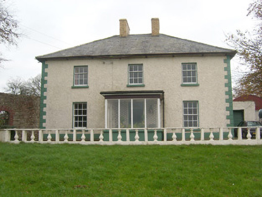 Rockfield Househouse · 500 yd
 Former Camlin Fairy Fort / BreginaFairy fort / earthen ringfort · 1180 yd
 Lissacholly Earthen RingfortFairy fort / earthen ringfort · 1253 yd
 Belleek Pottery MuseumMuseum · 1.4 mi
 Belleek PotteryHeritage attraction · 1.4 mi
 Castle in ruinsCastle, unclassified · 1.5 mi
 St Anne's Church GraveyardGraveyard · 3.1 mi
 InishkeenIslet · 3.1 mi
 GorminishIslet · 3.6 mi
 PLANTATION CASTLE: MAGHERAMEENAGH CASTLE in MagherameenaghPLANTATION CASTLE: MAGHERAMEENAGH CASTLE · 3.7 mi
 HawthornHawthorn · 4.1 mi