What is recorded here
Fairy fort in Rosstemple: double earth banks, one ditch between them, roughly 39 by 37 metres, still standing in pasture near the Inchinclare boundary. Field lines cut through at south, southeast and northeast, so the old ring lost edges to later farming. People may have lived there before those lines were drawn, then left it to grass, rain and rumour.
In pasture, 40m N of townland boundary with Inchinclare. Depicted on the 1897 ed. OSi 25-inch map as circular-shaped area (dims. c. 39m N-S; 37m E-W) enclosed by two banks with an intervening fosse, intersected at S, SE and NE by post-1700 field boundaries. Monument visible on aerial photographs (ASIAP (306) 27) taken 13/09/2002. Tree-covered monument visible on OSi orthophotograph taken between 2005-12 and on Google Earth orthoimages.
See attached Google Earth orthoimages and ASIAP aerial photographs.
Compiled by: Fiona Rooney
Date of upload: 10 April 2021
The monument record does not grant public access. Check the route and ask the landowner before entering private land.
- What survives
- Recorded monument
Places near here
 bridgebridge · 1141 yd
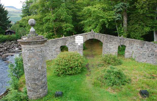 Burial GroundBurial ground · 1189 yd
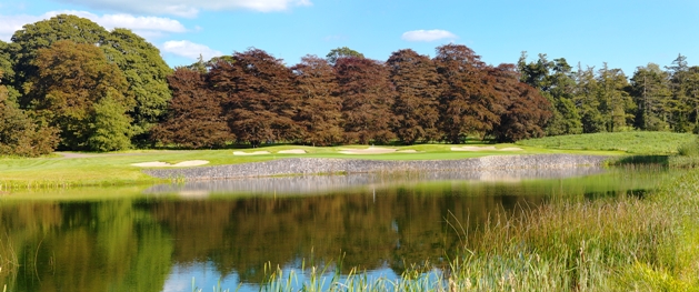 Watercourse in BallinfreeraWatercourse · 1255 yd
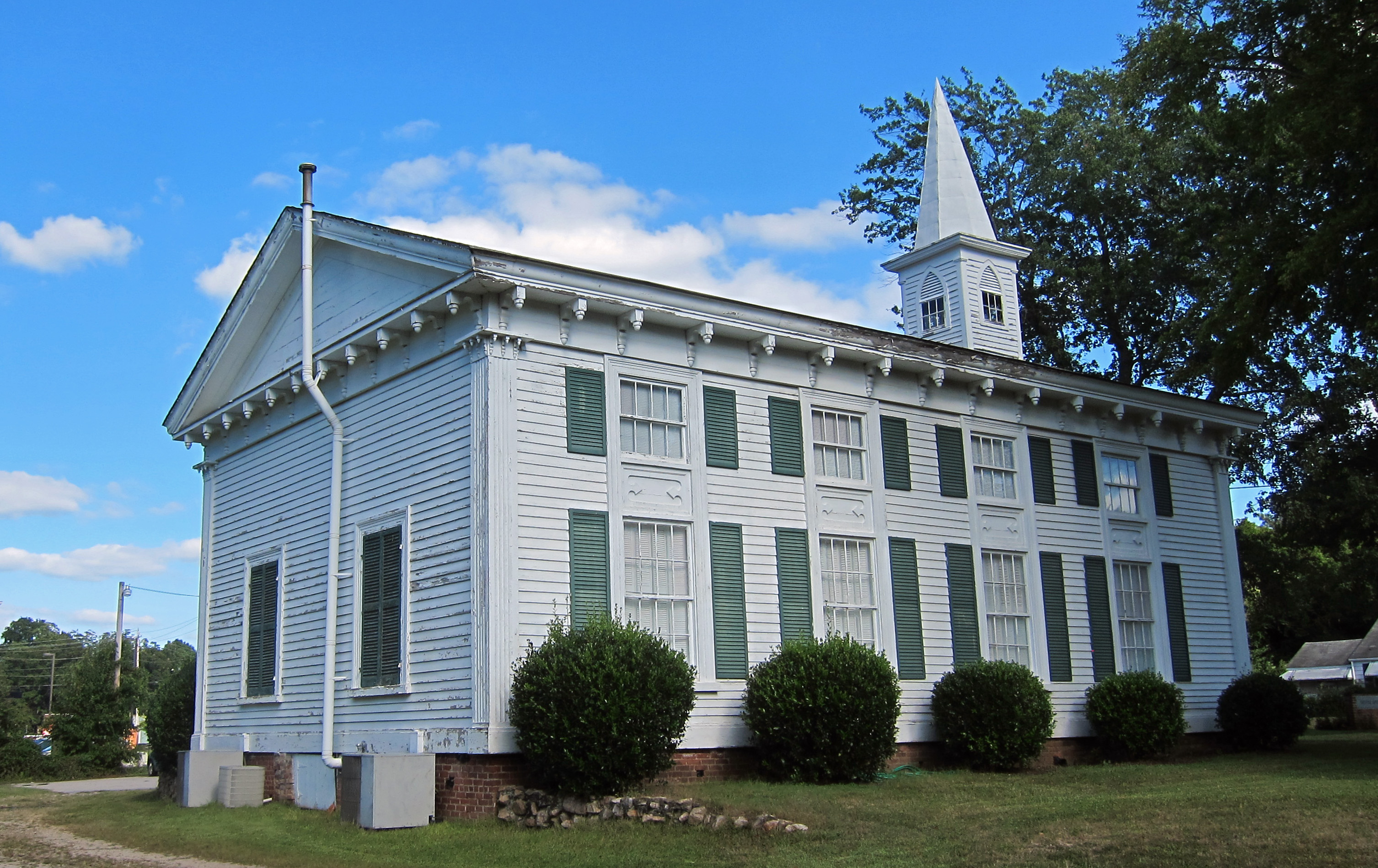 Church (in ruins)Church · 1585 yd
 Castle IeversCastle, unclassified · 1639 yd
 Athlacca Ho. (in ruins)Castle, unclassified · 1.3 mi
 European ashEuropean ash · 3.1 mi
 Monasteranenagh AbbeyHeritage attraction · 3.2 mi
 Biodiversity in the Maigue CatchmentVisitor information · 3.8 mi
 Dysert AenghusaHeritage attraction · 4.4 mi
 Kinnoor WellSpring · 5.1 mi
 Saint Derivla's WellSpring · 6.5 mi