What is recorded here
Fairy fort / earthen ringfort in Rosses Lower is a fairy fort or earthen ringfort in Rosses Lower, County Sligo, Ireland. It occupies the level summit of a narrow east-west ridge where natural ground slopes steeply down to the north and south. A circular area about twenty-two metres across sits inside a narrow earth and stone bank that has limestone slabs on its inner and outer edges. A broad flat-bottomed ditch runs along the outside of the bank from southwest to northwest and northeast to southeast, while a three-metre break at the east-southeast marks the original entrance.
Spanning level summit of narrow E-W ridge in undulating rocky pasture. Natural ground level slopes down steeply immediately to the N and S of the site. Slightly raised circular area (diam. c.22m) enclosed by a narrow bank of earth and stone (Wth 4m; int. H 0.3m). At the external base of the bank is a berm (max. Wth 4m) and an external broad flat-bottomed fosse (Wth 4-5.5m; D 1-1.4m). The internal and external sides of the bank appear to have been revetted with limestone slabs laid on edge. The berm and the fosse are present from SW-NW and NE-SE. The steeply sloping sides of the ridge slope down from the external base of the bank from SE-SW and from NW-NE. A break (Wth c.3m) in the bank at ESE marks the position of the original entrance. There is an annex located immediately to the W of the rath. This consists of a roughly rectangular area (dims. 22m N-S; 14m E-W) enclosed by a narrow bank of earth and stone (Wth 1.4m; int. H 0.4m). At the external base of the bank is a fosse (Wth 1.15; D 0.2m). The bank of the annex extends in an E-W direction from the NW side of the bank of the rath. The W side of the annex is defined by a bank with an external fosse that lies 4m from and parallel to the fosse of the rath. The S side of the annex is defined by a 7m length of bank linking at a right angle to the bank defining the W side and by the steep S-facing natural slope of the ridge.
Compiled by: Patrick F. O'Donovan
Date of upload: 21 April 2011
The monument record does not grant public access. Check the route and ask the landowner before entering private land.
- What survives
- Recorded monument
Places near here
 Enclosure in Rosses UpperEnclosure · 704 yd
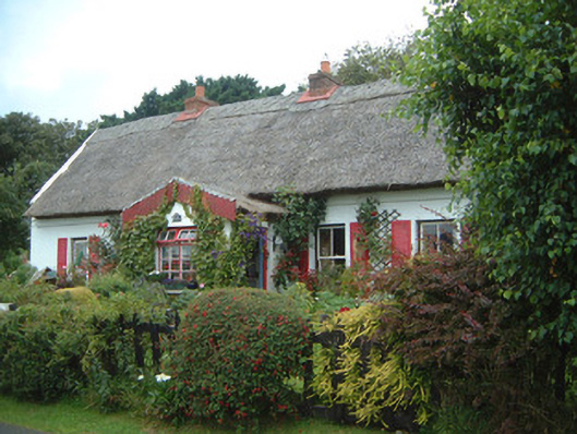 An Sean Tuíhouse · 855 yd
 Church (Site of)Church · 875 yd
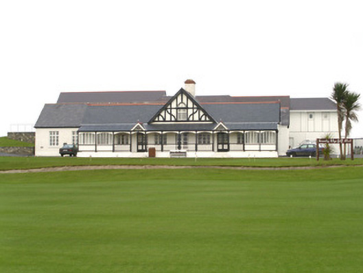 County Sligo Golf Clubclubhouse · 1273 yd
 Waiting on ShoreMemorial · 1515 yd
 Rosses Point BeachBeach / strand · 1550 yd
 Drumcliff BayBay · 1.0 mi
 Oyster IslandIslet · 1.0 mi
 Finned PointHeadland · 1.2 mi
 Ballyigilgan Nature ReserveNature reserve · 1.8 mi
 Coney IslandIsland · 1.9 mi
 Paddy McGowan's WoodWood · 1.9 mi