What is recorded here
Half a kilometre of forgotten hands built that circle. Forty-six metres of clay and muscle, a ditch cut deep enough to swallow a man whole, then two more rings of earth stacked like a wedding band. The fairies never lived there. They took the shape the dead made and wore it.
In an upland area. The remains of a circular ringfort (diam. c. 50m NW-NE) defined by an inner bank (Wth c. 2.9m, int. H c. 0.3m, ext. H c. 1.4m), intervening fosse (Wth c. 3.4m) and outer bank (Wth c. 1.2m, ext. H c. 0.2m) from NW-SE. Levelled from SE-NW.
The above description is derived from the published 'Archaeological Inventory of County Laois' (Dublin Stationery Office, 1995) compiled by P. David Sweetman, Olive Alcock and Bernie Moran. In certain instances the entries have been revised and updated in the light of recent research.
Date of upload: 17 December 2007
The monument record does not grant public access. Check the route and ask the landowner before entering private land.
- What survives
- Recorded monument
Places near here
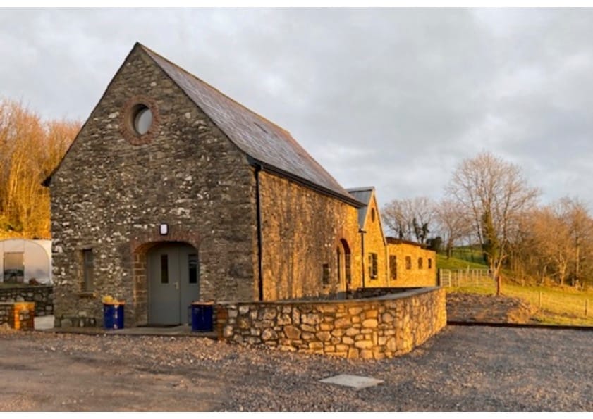 Enclosure in BarnaboyEnclosure · 1012 yd
 Enclosure in RossbaunEnclosure · 1056 yd
 Cloncourse CastleHouse, fortified house · 1.4 mi
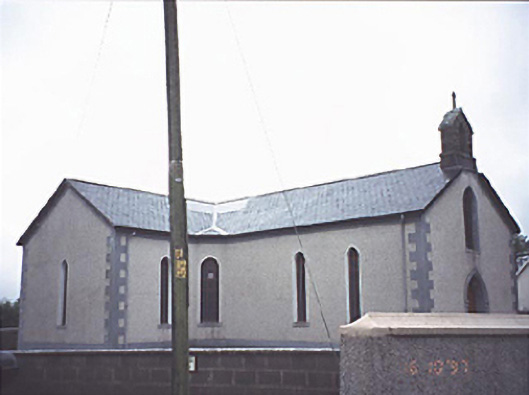 Saint Molua's Catholic Churchchurch/chapel · 1.5 mi
 Ballaghmore CastleCastle, tower house · 1.7 mi
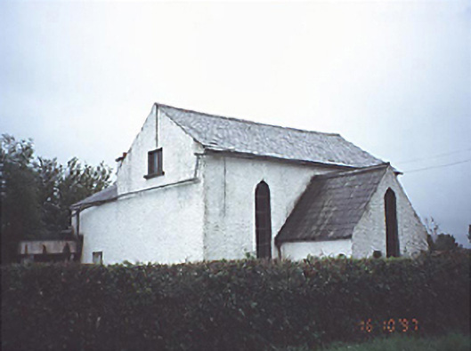 Kyle Church and Schoolchurch/chapel · 2.0 mi
 Saint Kieran's WellSpring · 2.1 mi
 FarbreagueMountain / peak · 3.0 mi
 European BeechEuropean Beech · 3.5 mi
 European YewEuropean Yew · 3.8 mi
 Millennium GardenMemorial · 4.1 mi
 ArderinMountain / peak · 4.3 mi