What is recorded here
Rosdaul holds a thirty-seven-metre earthen ring on a grassy rise above northern bog. People called it a fairy fort, yet humans built the bank and lived inside its circle before forgetting the name. Field cuts and modern gaps have damaged the wall, but the round shape still resists erasure. The land remembers the hand that shaped it, even when the people have vanished.
On a rise in undulating grassland overlooking bog to N. Circular rath (D 37m), in fair condition, defined by a bank. A field bank cuts the monument at NW and SW, and no visible surface trace survives to W of it. Numerous gaps in the bank appear modern.
The above description is derived from the published 'Archaeological Inventory of County Galway Vol. II - North Galway'. Compiled by Olive Alcock, Kathy de hÓra and Paul Gosling (Dublin: Stationery Office, 1999).
Date of upload: 05 August 2010
The monument record does not grant public access. Check the route and ask the landowner before entering private land.
- What survives
- Recorded monument
Places near here
 St. Columbs WellHoly well · 834 yd
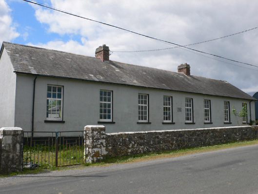 Toberroe National Schoolschool · 1.4 mi
 Enclosure in Newtown (ballymoe By.)Enclosure · 1.7 mi
 Lorettohouse · 2.0 mi
 Site of Killomaine Grave YardArchaeological place · 2.4 mi
_-_geograph.org.uk_-_1952978.jpg?width=1280) Bawn in Glinsk (ballymoe By.)Bawn · 2.7 mi
Bawn in Glinsk (ballymoe By.)Bawn · 2.7 mi Rook HillMountain / peak · 3.4 mi
 Castle (in ruins)Castle, unclassified · 3.8 mi
 Mount MaryMountain / peak · 5.3 mi
 HawthornHawthorn · 6.6 mi
 Sally IslandIslet · 7.3 mi
 European ashEuropean ash · 7.7 mi