What is recorded here
Fairy forts are not for people. They belong to the displaced, the forgotten, the ones who build in dreams and forget by morning. This is one of theirs. The field is not empty. It is occupied by someone who does not wish to be known. That is all.
In flat low-lying pasture. Monument, depicted as embanked circular enclosure on 1841 OS 6-inch map, has been levelled except for section of enclosing earthen bank (int. H 0.55m; ext. H 0.9m) NW->E. An E-W field boundary crosses area of enclosure near its N edge. Outside surviving section of bank is slight trace of external fosse (D 0.1m; Wth c. 2.5m) accentuated by arc of thistles growing along this. Interior (area: 25.5m from field boundary to bank at S; 28m E-W) surface boggy and dips gently down towards centre.
Compiled by: Denis Power
Date of upload: 26 August 2011
The monument record does not grant public access. Check the route and ask the landowner before entering private land.
- What survives
- Recorded monument
Places near here
 Limerick GreenwayWalking route · 966 yd
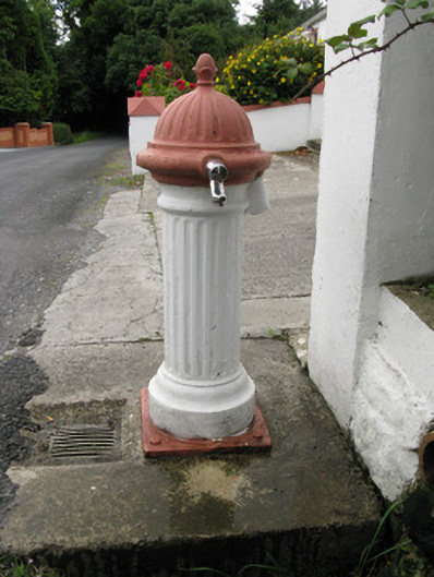 water pumpwater pump · 1.1 mi
 IndicatedEnclosure · 1.1 mi
 bridgebridge · 1.4 mi
 Enclosure in Garryduff (glenquin By., Garryduff Ed)Enclosure · 1.9 mi
 Sugar HillMountain / peak · 2.1 mi
 Templars Castle (in ruins)Castle, Anglo-Norman masonry castle · 2.9 mi
 TobereenalaffinaSpring · 4.1 mi
 CahermoyleCastle, unclassified · 4.9 mi
 St. Luke's WellSpring · 5.1 mi
 Barnagh HillMountain / peak · 5.6 mi
 Lawson's CypressLawson's Cypress · 6.2 mi