What is recorded here
Clear in Rooskagh East, a flat low-lying field still holds a rough circular fort, thirty-one metres across, with an earthen bank and a waterlogged ditch outside it. A broad trackway cuts through the place from southeast to northwest, and a gap in the south bank lets a person walk into the middle without climbing. The fort is no longer a complete trap or castle; it has become a marker under grass, remembering that this ordinary field once belonged to someone bold enough to shape the earth.
In flat low-lying terrain. Roughly circular area (diam. 31m N-S) enclosed by earthen bank (int. H 0.4m; ext. H 1.65m) with external waterlogged fosse (D 0.35m; Wth 2m). A trackway (Wth 4m) cuts through enclosure on SE-NW axis leaving enclosing element in two isolated sections, both of which are covered in dense vegetation overgrowth. Break in bank at S (Wth 3.5m). A field boundary runs along exterior edge of fosse except where trackway cuts across enclosing element.
Compiled by: Denis Power
Date of upload: 26 August 2011
The monument record does not grant public access. Check the route and ask the landowner before entering private land.
- What survives
- Recorded monument
Places near here
 Limerick GreenwayWalking route · 964 yd
 IndicatedEnclosure · 1.1 mi
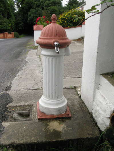 water pumpwater pump · 1.1 mi
 bridgebridge · 1.5 mi
 Enclosure in Garryduff (glenquin By., Garryduff Ed)Enclosure · 2.0 mi
 Sugar HillMountain / peak · 2.1 mi
 Templars Castle (in ruins)Castle, Anglo-Norman masonry castle · 2.9 mi
 TobereenalaffinaSpring · 4.1 mi
 CahermoyleCastle, unclassified · 4.8 mi
 St. Luke's WellSpring · 5.1 mi
 Barnagh HillMountain / peak · 5.7 mi
 Lawson's CypressLawson's Cypress · 6.2 mi