What is recorded here
Fairy forts are earthen rings people once lived in or marked before they stopped using them. In Rooskagh East the ring still shows as a shallow scarped edge, a narrow fosse and a counterscarp bank around level marshy pasture. Cattle have worn paths across the scarp, and a field drain cuts through part of the enclosure. The names change, but the shape remains a small made circle on a hillside, the kind of place where people may have kept animals, stored things or simply drawn a line around their own world.
In pasture, on a NW- facing sloped terrace on the N side of a low hill. Circular area (19.2m N-S; 20m E-W) defined by a scarped edge (H 0.8m; Wth 1m) with an external fosse (D 0.8m; Wth 1.7m) and a counterscarp bank (int. H 1.3m; ext. H 0.5m). An E-W running field drain truncates the enclosing element ESE->SW. Cattle have worn paths across the scarp at NW, NNW and ESE. The interior is level and covered by rough marshy pasture.
Compiled by: Denis Power
Date of upload: 26 August 2011
The monument record does not grant public access. Check the route and ask the landowner before entering private land.
- What survives
- Recorded monument
Places near here
 Limerick GreenwayWalking route · 1297 yd
 IndicatedEnclosure · 1648 yd
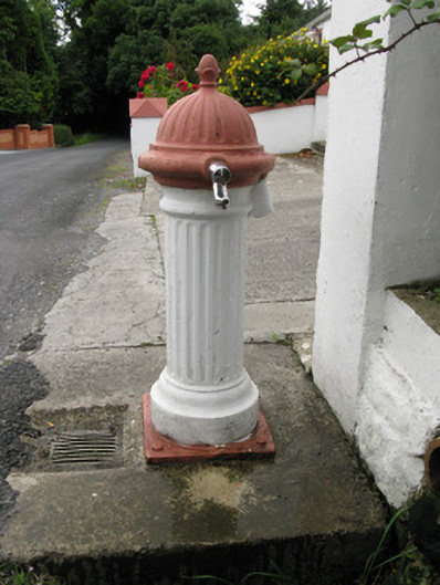 water pumpwater pump · 1677 yd
 bridgebridge · 1.6 mi
 Enclosure in Garryduff (glenquin By., Garryduff Ed)Enclosure · 2.1 mi
 Sugar HillMountain / peak · 2.3 mi
 Templars Castle (in ruins)Castle, Anglo-Norman masonry castle · 2.7 mi
 TobereenalaffinaSpring · 4.2 mi
 CahermoyleCastle, unclassified · 4.7 mi
 St. Luke's WellSpring · 4.9 mi
 Barnagh HillMountain / peak · 5.8 mi
 Lawson's CypressLawson's Cypress · 6.3 mi