What is recorded here
Rooskagh East is a fairy fort where a ring of rushes still marks the vanished boundary of a human home. The earth forgot its own shape, but the grass remembers the circle, drawing a line around empty air as if someone still lived inside. What was a house became a legend, and what was a legend became a field. The fort did not disappear; it stopped being obvious.
In level pasture. Monument, depicted as embarked circular enclosure (diam. c. 30m) on 1923 OS 6-inch map, has been levelled. Line of enclosing element discernable as very slight scarp SE->SW with band of rushes along its outside edge possibly marking line of fosse. Band of rushes continues around rest of circumference enclosing roughly circular area (c. 30.5m N-S; c. 26.5m E-W).
Compiled by: Denis Power
Date of upload: 26 August 2011
The monument record does not grant public access. Check the route and ask the landowner before entering private land.
- What survives
- Recorded monument
Places near here
 Limerick GreenwayWalking route · 965 yd
 IndicatedEnclosure · 1.0 mi
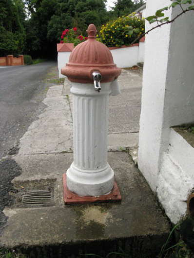 water pumpwater pump · 1.2 mi
 bridgebridge · 1.6 mi
 Enclosure in Garryduff (glenquin By., Garryduff Ed)Enclosure · 2.1 mi
 Sugar HillMountain / peak · 2.2 mi
 Templars Castle (in ruins)Castle, Anglo-Norman masonry castle · 3.0 mi
 TobereenalaffinaSpring · 4.2 mi
 CahermoyleCastle, unclassified · 4.7 mi
 St. Luke's WellSpring · 5.0 mi
 Barnagh HillMountain / peak · 5.8 mi
 Lawson's CypressLawson's Cypress · 6.1 mi