What is recorded here
Fairy fort / earthen ringfort in Roolagh is a fairy fort or earthen ringfort in Roolagh, County Tipperary, Ireland. The first Ordnance Survey six-inch map depicts a conjoined ringfort on upland high ground. Westropp's 1911-12 account describes two ringforts enclosed by one ditch, with the larger northern fort measuring 48.77 metres by 35 metres. The source account records the site as not visible at ground level.
Situated on high ground in an upland area. Depicted on the 1st ed. OS 6-inch map as a conjoined ringfort. Described by Westropp (1911-12, 211) as two ringforts enclosed by one fosse, the larger fort to the N measuring 160 ft by 115 ft (48.77m x 35m). Not visible at ground level.
Compiled by: Caimin O'Brien.
Date of upload: 22 September 2008
The monument record does not grant public access. Check the route and ask the landowner before entering private land.
- What survives
- Recorded monument
Places near here
 Cloghaneena (in ruins)Castle, hall-house · 664 yd
 Ladys Well (Site of)Holy well · 795 yd
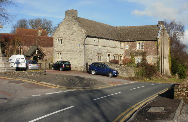 Church (in ruins); Friars IslandChurch · 836 yd
 Stone Cross (Site of)Cross · 967 yd
 Catholic Church of Our Lady and Saint Luachurch/chapel · 1099 yd
 My Next AdventureHeritage attraction · 1163 yd
 Ballina Castle (in ruins)Castle, tower house · 1357 yd
 Brian Boru Heritage CentreVisitor information · 1365 yd
 Brian Boru FortHeritage attraction · 1.7 mi
 The Pollagh TrailNature reserve · 2.2 mi
 Seagull IslandIslet · 2.3 mi
 Rinnaman PointHeadland · 3.0 mi