What is recorded here
Fairy fort in Rockspring, County Cork: a 25m earthen ring on an east-facing farm slope, with a broken north bank, wide east-southeast entrance, shallow fosse and overgrown interior. It is the kind of place where people may have kept children, livestock or secrets from the rain. The fairies, according to local story, took the rest.
In tillage, on E-facing slope. Circular area (diam. c. 25m) enclosed by earthen bank (int. H 1.2m; ext. H 0.45m) with external fosse (D 1.45m); counterscarp bank (H 0.4m) NNW->ENE. Bank heavily overgrown all round; break (Wth 1.05m) to N; entrance (Wth 4.2m) to ESE. Short bank (L c. 6m) outside entrance across silted-up fosse. Fosse shallow to SE; silted-up to ESE; waterlogged to W. Interior inaccessible due to overgrowth.
The above description is derived from the published 'Archaeological Inventory of County Cork. Volume 4: North Cork' (Dublin: Stationery Office, 2000). In certain instances the entries have been revised and updated in the light of recent research.
Date of upload/revision: 14 January 2009
The monument record does not grant public access. Check the route and ask the landowner before entering private land.
- What survives
- Recorded monument
Places near here
 Enclosure in RockspringEnclosure · 427 yd
 LisnagrovaFairy fort / earthen ringfort · 632 yd
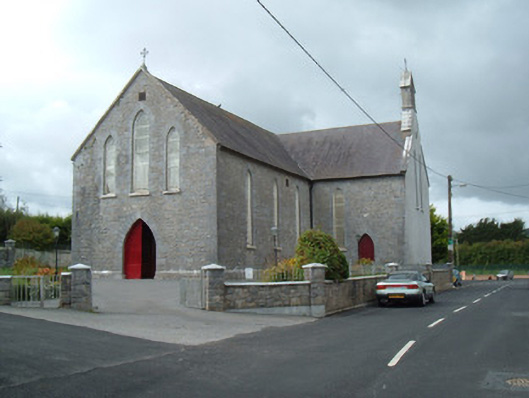 Saint Joseph's Churchchurch/chapel · 782 yd
 Liscarroll CastleCastle · 861 yd
 Battle of LiscarrollMajor battlefield · 876 yd
 Ch (in Rns)Church · 918 yd
 Castle (Site of)Castle, unclassified · 3.0 mi
 Windmill HillMountain / peak · 3.3 mi
 Lady's WellSpring · 3.6 mi
 Churchtown TrailsVisitor information · 3.6 mi
 Ballyhoura WayWalking route · 4.5 mi
 European YewEuropean Yew · 6.2 mi