What is recorded here
A fourty metre circle of buried earth still marks Rockspring, its western edge hidden beneath soil while a curved field fence may preserve part of the original bank. The name fairy fort suggests people once believed the shape belonged to another world, yet an earthen ringfort nearby shows ordinary hands may have built it for defence, storage or residence. The eastern entrance and circular form point to a small inhabited place where people entered, lived and left behind a boundary the land still remembers.
Cropmark of fosse (W->SSW) of circular enclosure (diam. c. 40m) visible in aerial photograph (CASAP, July 1989); slightly curved field fence (SSW->W) may incorporate bank of enclosure; possible entrance at E. Ringfort (CO016-002---) c. 100m to SSW.
The above description is derived from the published 'Archaeological Inventory of County Cork. Volume 4: North Cork' (Dublin: Stationery Office, 2000). In certain instances the entries have been revised and updated in the light of recent research.
Date of upload/revision: 14 January 2009
The monument record does not grant public access. Check the route and ask the landowner before entering private land.
- What survives
- Recorded monument
Places near here
 Enclosure in RockspringEnclosure · 636 yd
 LisnagrovaFairy fort / earthen ringfort · 658 yd
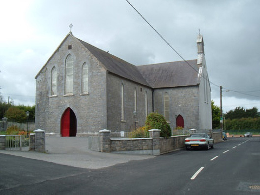 Saint Joseph's Churchchurch/chapel · 963 yd
 Liscarroll CastleCastle · 1065 yd
 Battle of LiscarrollMajor battlefield · 1074 yd
 Ch (in Rns)Church · 1114 yd
 Castle (Site of)Castle, unclassified · 3.0 mi
 Windmill HillMountain / peak · 3.4 mi
 Lady's WellSpring · 3.7 mi
 Churchtown TrailsVisitor information · 3.7 mi
 Ballyhoura WayWalking route · 4.6 mi
 European YewEuropean Yew · 6.2 mi