What is recorded here
Mortons and rocksavage occupy a long narrow belt along the western edge of the county, stretching from the Shannon floodplain northward into the hills. The land remains lively because people continued to clear stones, build walls and change the shape of the field long after the first settlements appeared. That is why the area still feels sharp: it is made of repeated human action, not a single forgotten event.
The following description is derived from the published 'Archaeological Inventory of County Carlow' (Dublin: Stationery Office, 1993). In certain instances the entries have been revised and updated in the light of recent research.
Date of upload/revision: 17 July 2007
Area (c. 24m N-S, 45m E-W) now covered with thorn bushes. Regarded locally as a 'rath'.
A fairy fort, also known as an earthen ringfort or rath, is a circular earthwork enclosure typically dating to the early medieval period (c. 500–1000 AD), often associated with ancient Irish settlements. Local folklore may link such sites to the supernatural, with tales of fairies or other otherworldly beings.
The monument record does not grant public access. Check the route and ask the landowner before entering private land.
- What survives
- Recorded monument
Places near here
 Saint Patrick's Catholic Churchchurch/chapel · 1157 yd
 Enclosure in RathgeranEnclosure · 1559 yd
 Kilcullaun Church (in ruins), GraveyardChurch · 1.0 mi
 Kyle Church (in ruins), Graveyard (site of)Church · 1.1 mi
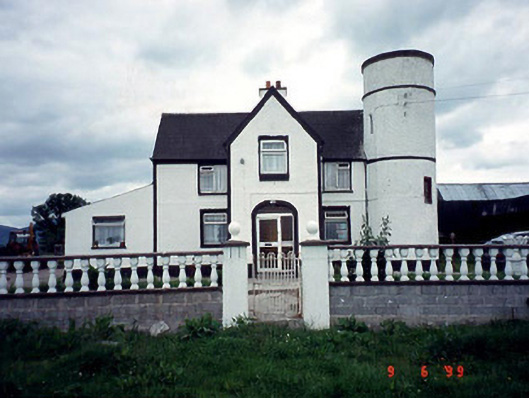 Tower Housefarm house · 1.9 mi
 Coonogue WoodForest · 1.9 mi
 The Barrow WayVisitor information · 2.3 mi
 Castle (in ruins)Castle, tower house · 2.7 mi
 ClashgannyWood · 2.9 mi
 SlievebaunMountain / peak · 3.3 mi
 KnockroeMountain / peak · 3.5 mi
 General Thomas CloneyMemorial · 4.2 mi