What is recorded here
Fairy fort / earthen ringfort in Rockingham Demesne (boyle By., Rockingham.ed) is a fairy fort or earthen ringfort in Rockingham Demesne (boyle By., Rockingham.ed), County Roscommon, Ireland. It occupies a 32m circular area terraced into a steep north-facing slope in mixed woodland. A 1.5m scarp rises on the west, north and east, while an earthen bank and shallow fosse follow the remaining edge. A man-made underground passage cuts through the north interior, and another rath lies 80m to the southwest.
In mixed woodland terraced into a steep N-facing slope. Circular area (diam. 32m) defined by an earthen bank (Wth 3.5-4.5m; int. H 0.2-0.8m) E-WNW with a fosse (Wth of top 3.2-3.5m; D 0.1-0.4m) SE-W, and a scarp (H 1.5m) WNW-N-E. Man-made underground passage (RO006-043002-) is in the N part of the interior. Rath (RO006-090----) is c. 80m to the SW.
Compiled by: Michael Moore
Date of upload: 24 August 2010
The monument record does not grant public access. Check the route and ask the landowner before entering private land.
- What survives
- Recorded monument
Places near here
 Embanked enclosureFairy fort / earthen ringfort · 124 yd
 Lough Key Forest ParkWood · 339 yd
 Rockingham DemesneRuins · 664 yd
 Kilbryan Church (in Ruins)Church · 771 yd
 Western RedcedarWestern Redcedar · 1101 yd
 Horse-chestnutHorse-chestnut · 1144 yd
 Erris BayBay · 1167 yd
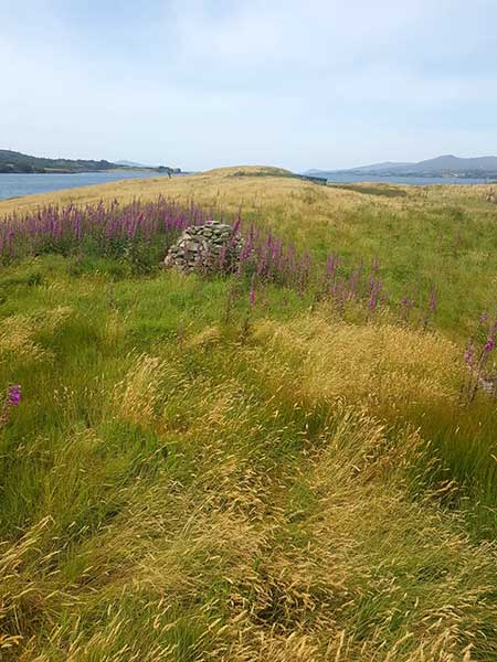 Drummans IslandIsland · 1559 yd
 Trinity IslandIslet · 1569 yd
 Enclosure in Rockingham Demesne (boyle By., Rockingham.ed)Enclosure · 1616 yd
 Longford HillMountain / peak · 1752 yd
 Boyle AbbeyHeritage attraction · 2.1 mi