What is recorded here
Fairy fort, earthen ringfort, Robertstown, County Limerick. A circular embankment about twenty metres across stood there when mapped in 1841. Men lived, loved, argued and died inside that small circle before anyone thought to call it ancient. The quarry took the ridge, the soil and the shape, leaving a hole where a whole life once fit.
Monument, depicted as embanked circular enclosure (diam. c. 20m) on 1841 OS 6-inch map, has been removed. Area of site occupied by derelict gravel quarry.
Compiled by: Denis Power
Date of upload: 26 August 2011
This remains an important historical record, but the official description says the monument is no longer visible or has been destroyed. The monument record does not grant public access. Check the route and ask the landowner before entering private land.
- What survives
- No visible remains or recorded as destroyed
Places near here
 Burial ground in RobertstownBurial ground · 389 yd
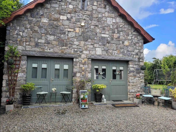 Enclosure in RobertstownEnclosure · 600 yd
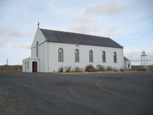 Saint Senan's Catholic Churchchurch/chapel · 602 yd
 Robertstown Church (in ruins)Church · 815 yd
 Robertstown Castle (in ruins)Castle, tower house · 991 yd
 Dysert Castle (in ruins)Castle, tower house · 1.1 mi
 Foynes Flying Boat & Maritime MuseumMuseum · 2.1 mi
 Gammarel PointHeadland · 2.3 mi
 Foynes Island ViewpointViewpoint · 2.4 mi
 Foynes IslandIsland · 2.8 mi
 Battery PointHeadland · 3.1 mi
 Holly IslandIslet · 3.3 mi