What is recorded here
Fairy fort in Rinville West, County Galway: an oval earthen ringfort on a ridge slope, partly levelled but still marking a chosen place. The surviving bank arcs like a forgotten gesture, inviting imagination about the people who shaped it and the lives that turned around it.
On the NE-facing slope of a prominent ridge in pastureland. Classified by McCaffrey (1952, 142, no. 11) as an oval ‘Earthen fort’ (c. 58m E-W; c. 44m N-S) defined by a bank. Athy (1914, 137) refers to a levelled 'ditch and outer bank'. On inspection all that was visible was the arc of the inner bank (L 16.5m) running from ENE to SE.
Compiled by: Galway Archaeological Survey, UCG
Date of upload: 10 April 2018
The monument record does not grant public access. Check the route and ask the landowner before entering private land.
- What survives
- Recorded monument
Places near here
 KnocknamnasheeFairy fort / earthen ringfort · 201 yd
 RinvilleFairy fort / earthen ringfort · 374 yd
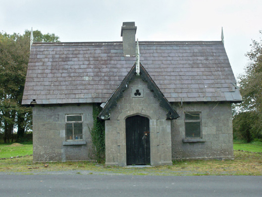 Rinville Parkgate lodge · 427 yd
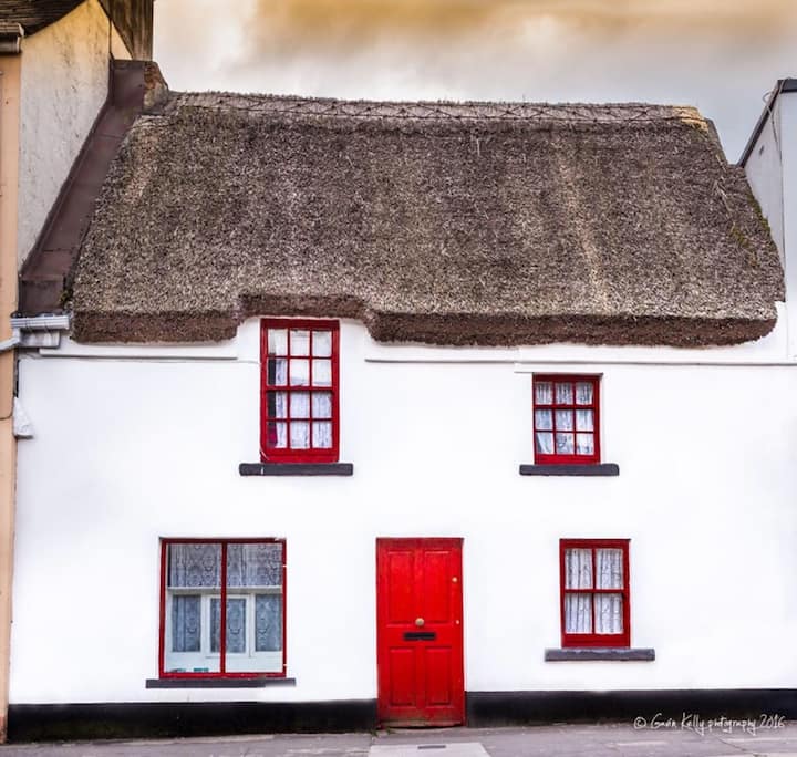 Stafort HouseRuins · 770 yd
 South WoodWood · 1057 yd
 North WoodWood · 1099 yd
 CastleCastle, unclassified · 1335 yd
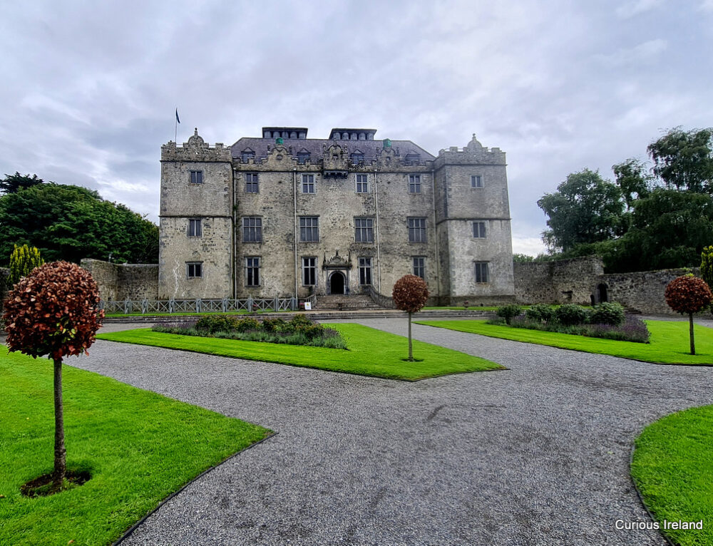 Moneyduff Castle (Site of)Castle, unclassified · 1.2 mi
 Leadmine HillMountain / peak · 1.3 mi
 Ardfry PointHeadland · 2.6 mi
 Rabbit IslandIslet · 2.6 mi
 Goose IslandIslet · 2.8 mi