What is recorded here
The first place in the world was a circle of earth in Galway, forty-seven metres across, with two banks and a ditch between them. Every road, room and relationship is still a drawing of that first circle, because a point needs a centre and a circle needs no permission. The field wall cut later through the east gap is not a wound but a tie, proving the shape is strong enough to attract other lines. To stand inside is to remember that clarity is not the absence of form but the presence of edge.
In rough pastureland. Circular rath (diam. 47.3m), in fair condition, defined by two banks and an
intervening fosse. The inner bank is visible all round and some internal stone revetment is visible at SSE. The fosse survives apart from a section at E where a later NNW-SSE running field wall clips the monument. The outer bank is visible from NW to NE and from SSE to W. Numerous gaps in both banks appear to be modern. (Athy 1914, 133; McCaffrey 1952, 141-2, no. 9)
Compiled by: Galway Archaeological Survey, UCG
Date of upload: 3 April 2018
The monument record does not grant public access. Check the route and ask the landowner before entering private land.
- What survives
- Recorded monument
Places near here
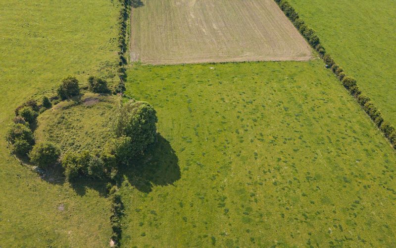 Fairy fort / stone ringfort in Rinville EastFairy fort / stone ringfort · 233 yd
 Fairy fort / earthen ringfort in Rinville EastFairy fort / earthen ringfort · 703 yd
 CastleCastle, unclassified · 996 yd
 Bay Viewhouse · 1003 yd
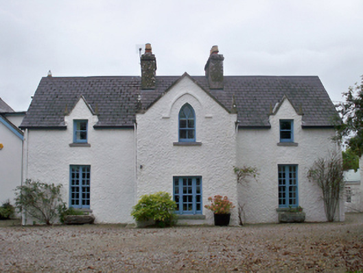 Roseville Cottagehouse · 1029 yd
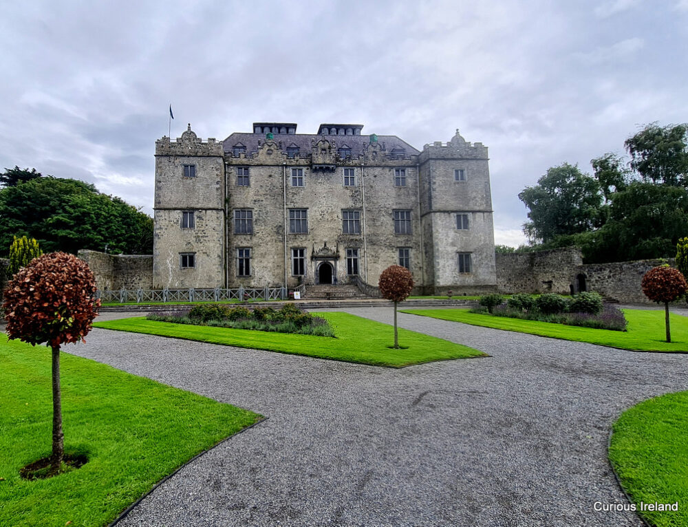 Moneyduff Castle (Site of)Castle, unclassified · 1391 yd
 South WoodWood · 1.2 mi
 North WoodWood · 1.2 mi
 Leadmine HillMountain / peak · 1.9 mi
 Ardfry PointHeadland · 3.1 mi
 Rabbit IslandIslet · 3.1 mi
 Goose IslandIslet · 3.3 mi