What is recorded here
Fairy fort in Ring, County Cork: an earthen ringfort on an east-facing slope above Youghal Bay, mapped in 1842 as an oval enclosure about fifty by sixty metres, then levelled in the 1930s according to local information. What remains is a low rise and a slight scarp, just enough to suggest the shape of a lived-in place beneath pasture. It may have been a farmstead, a boundary marker, or a small defence; the earth has taken back most of the answer.
In rough pasture, on E-facing slope, Youghal Bay to NNE. Shown on 1842 OS 6-inch map as oval enclosure (diam. c. 50m E-W; 60m N-S). Low rise visible to N and NE; slight scarp to E. According to local information, levelled c. 1930s.
The above description is derived from the published 'Archaeological Inventory of County Cork. Volume 2: East and South Cork' (Dublin: Stationery Office, 1994). In certain instances the entries have been revised and updated in the light of recent research.
Date of upload/revision: 14 January 2009
The monument record does not grant public access. Check the route and ask the landowner before entering private land.
- What survives
- Recorded monument
Places near here
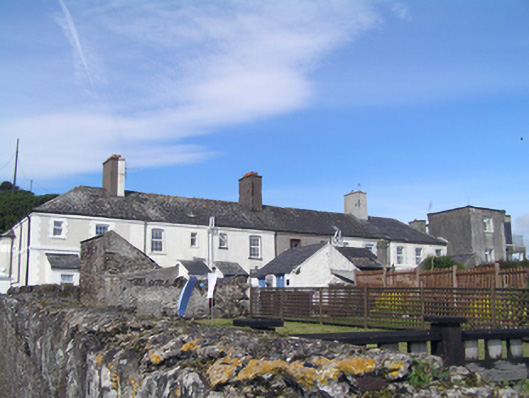 coastguard stationcoastguard station · 436 yd
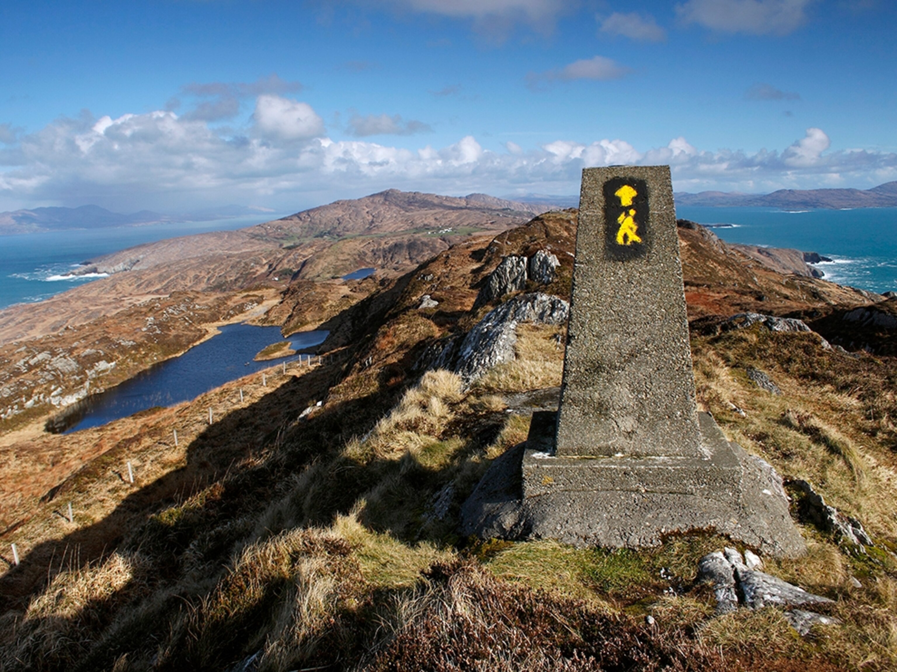 IndicatedHouse, vernacular house · 918 yd
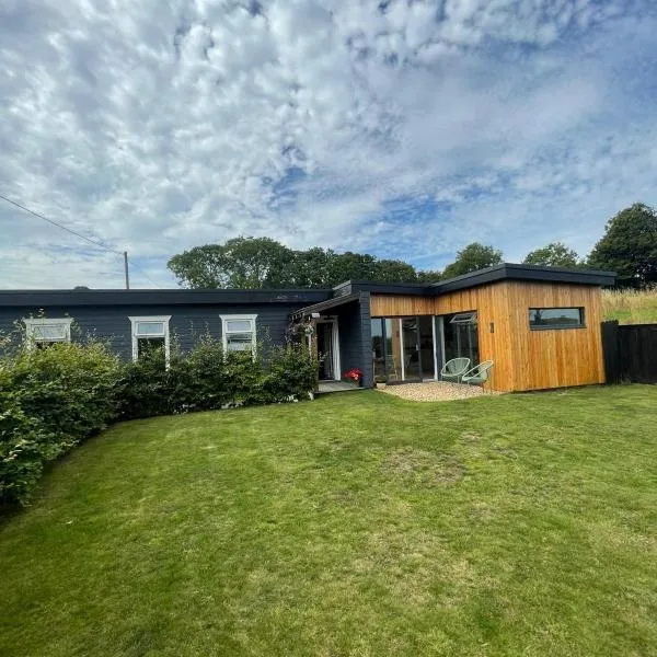 Enclosure in GlenawillingEnclosure · 1013 yd
 Enclosure in BallymacodaEnclosure · 1.3 mi
 Glebe IslandIslet · 1.6 mi
 Capel IslandIslet · 1.6 mi
 Ballymacoda Castle (Site of)Castle, Anglo-Norman masonry castle · 1.8 mi
 Inchiquin Castle (in Ruins)Castle, Anglo-Norman masonry castle · 3.4 mi
 Lady's WellSpring · 3.7 mi
 Moll Goggin's CornerMemorial · 4.0 mi
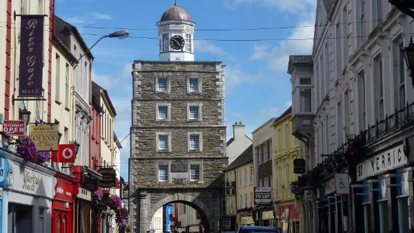 Slí na Sláinte YoughalWalking route · 4.2 mi
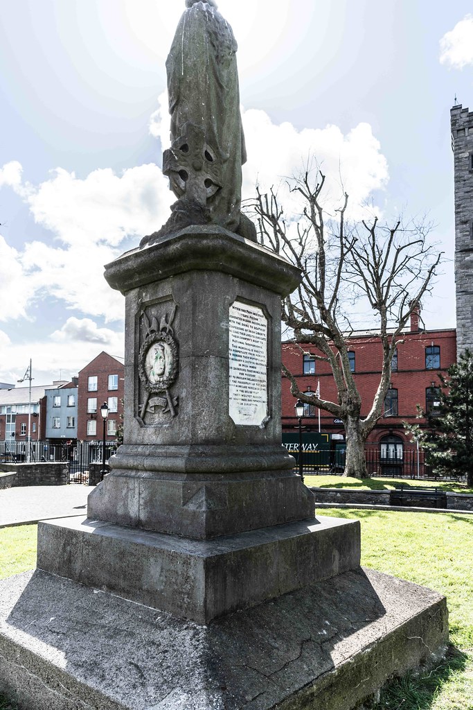 1798 MemorialMemorial · 4.3 mi