What is recorded here
Fairy forts are not a separate kind of monument; they are ordinary ringforts that became unnamed, unowned and strange. In Rincullia the circle is almost hidden beneath vegetation, but the earthen bank and shallow ditch still mark a small enclosed life. People may have lived there, tended it and left it to the woods. The fairies enter only after the humans stop naming the place.
Atop slight rise, in otherwise level terrain. Site is completely covered by dense overgrowth but as far as can be ascertained consists of circular area (diam. c. 25m) enclosed by earthen bank (int. H 0.5m; ext. H 0.6m) with external fosse (D 0.4m; Wth c. 2m).
Compiled by: Denis Power
Date of upload: 26 August 2011
See attached ASI aerial photographs ASIAP – taken on 04/03/2006.
The monument record does not grant public access. Check the route and ask the landowner before entering private land.
- What survives
- Recorded monument
Places near here
 Burial ground in RobertstownBurial ground · 436 yd
 IndicatedFairy fort / stone ringfort · 1017 yd
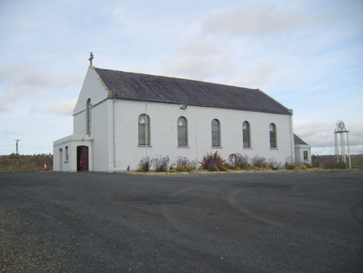 Saint Senan's Catholic Churchchurch/chapel · 1116 yd
 Dysert Castle (in ruins)Castle, tower house · 1147 yd
 Dysert CastleCastle · 1150 yd
 Robertstown Church (in ruins)Church · 1157 yd
 Foynes Flying Boat & Maritime MuseumMuseum · 2.3 mi
 Gammarel PointHeadland · 2.4 mi
 Foynes Island ViewpointViewpoint · 2.5 mi
 Holly IslandIslet · 2.8 mi
 Foynes IslandIsland · 2.9 mi
 Aughinish PointHeadland · 3.0 mi