What is recorded here
Half-buried in pasture west of Richmondvilla, the fort keeps its shape despite centuries of ploughing and forgetting. Its bank sweeps from west through north to southeast, enclosing a space large enough for buildings, herds or argument. The fairies may have built it in a night, but human hands more likely shaped it, lived inside it and abandoned it before maps existed.
In pasture 175m W of the gate lodge to Richmondvilla House and 100m SW of a local road that also marks the townland boundary with Greenmount. Depicted on the 1840 0S 6-inch map as an impressive multivallate earthwork intersected by field boundaries at S and E. The OS 25-inch map depicts a semi circular-shaped area (approx. int. dims 35m N-S x 55m E-W, ext. dims. 67m N-S x 50m E-W) defined by a bank from W through N to SE. A field boundary intersects the monument at SE while a lime-kiln is located 120m to NW. Outline of tree-covered monument with relict field boundaries radiating out visible on Google Earth orthoimage taken 14/2/2020.
See attached Google Earth orthoimages
Compiled by: Martin Fitzpatrick
Date upload: 23 June 2020
The monument record does not grant public access. Check the route and ask the landowner before entering private land.
- What survives
- Recorded monument
Places near here
 Hut site in GreenmountHut site · 460 yd
 Fort Etnacountry house · 614 yd
 Enclosure in GreenmountEnclosure · 704 yd
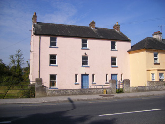 RIC barracksRIC barracks · 1098 yd
 Castle FieldCastle, unclassified · 1.4 mi
 Ballinveala Castle (in ruins)Castle, tower house · 1.9 mi
 Dysert AenghusaHeritage attraction · 5.2 mi
 Kinnoor WellSpring · 6.6 mi
 Flat cemetery in Kiltenan SouthFlat cemetery · 7.2 mi
 Grass IslandIslet · 7.3 mi
 Maiden RockNamed rock · 7.5 mi
 Mellon PointHeadland · 8.0 mi