What is recorded here
Situated on top of a hillock known locally as the Stony Hill, with good views all around of undulating grassland. The field fence which forms the townland boundary with Williamstown lies 90m to E. A raised sub-circular shaped area (approx. diam. 30m NW-SE; 35m NE-SW) enclosed by two earth and stone banks with an intervening fosse. The inner bank is well preserved; the outer bank is very low. Traces of cultivation ridges are visible running WNW-ESE across the interior. There is a possible entrance gap at W. At E the inner bank curves outwards to the E.
See attached profile of monument surveyed and drawn by the ASI.
Compiled by: Frank Coyne and Caimin O'Brien
Date of upload: 10 April 2018
The monument record does not grant public access. Check the route and ask the landowner before entering private land.
- What survives
- Recorded monument
Places near here
 Ecclesiastical enclosure in CrosserdreeEcclesiastical enclosure · 906 yd
 Church in ruinsChurch · 912 yd
 OutlinedCastle, unclassified · 1009 yd
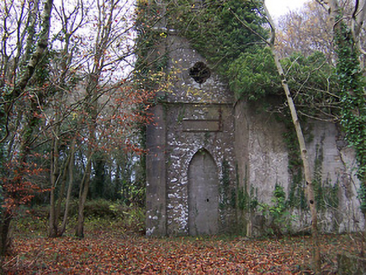 Church of Saint John the Baptist (Rathconnell)church/chapel · 1053 yd
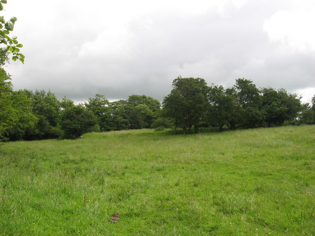 Fairy fort / earthen ringfort in ReynellaFairy fort / earthen ringfort · 1230 yd
 Site of Fennor CastleCastle, tower house · 1432 yd
 GinkgoGinkgo · 1514 yd
 The FurzeForest · 4.9 mi
 Kells HillMountain / peak · 7.7 mi
 Seafin HillMountain / peak · 8.1 mi
 Croppies' GraveMemorial · 12 mi
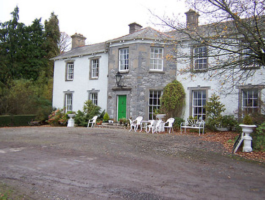 Reynella Housecountry house · 1489 yd