What is recorded here
Clearance stones from Reenroe fields were thrown into the outer ditch to hide the fort, yet the eastern causeway and uneven interior remain visible in the pasture. The hidden southeastern passage suggests the ring was not merely a boundary marker but a place for keeping secrets, storing goods, or escaping when the valley filled with danger. The fairies may have taken the name, but the stones and dug earth point to human hands shaping a small defensible world on the slope.
In pasture on N-facing slope. Circular area (40.5m N-S; 43m E-W) enclosed by earthen bank (H 0.8m); external fosse (D 0.3m), partially filled with field clearance stones; counterscarp bank (H 0.4m). Inner fosse (D 0.2m) forms arc NNW->NNE. Bank stone faced in parts. Entrance (Wth 3.2m) to E with causeway. Interior raised on E side to compensate for hillslope; Man-made underground passage (CO122-068002-) in SE quadrant.
The above description is derived from the published 'Archaeological Inventory of County Cork. Volume 1: West Cork' (Dublin: Stationery Office, 1992). In certain instances the entries have been revised and updated in the light of recent research.
Date of upload/revision: 14 January 2009
The monument record does not grant public access. Check the route and ask the landowner before entering private land.
- What survives
- Recorded monument
Places near here
 CaveMan-made underground passage · 3 yd
 Enclosure in Reenroe (carbery East (e.d) By.)Enclosure · 596 yd
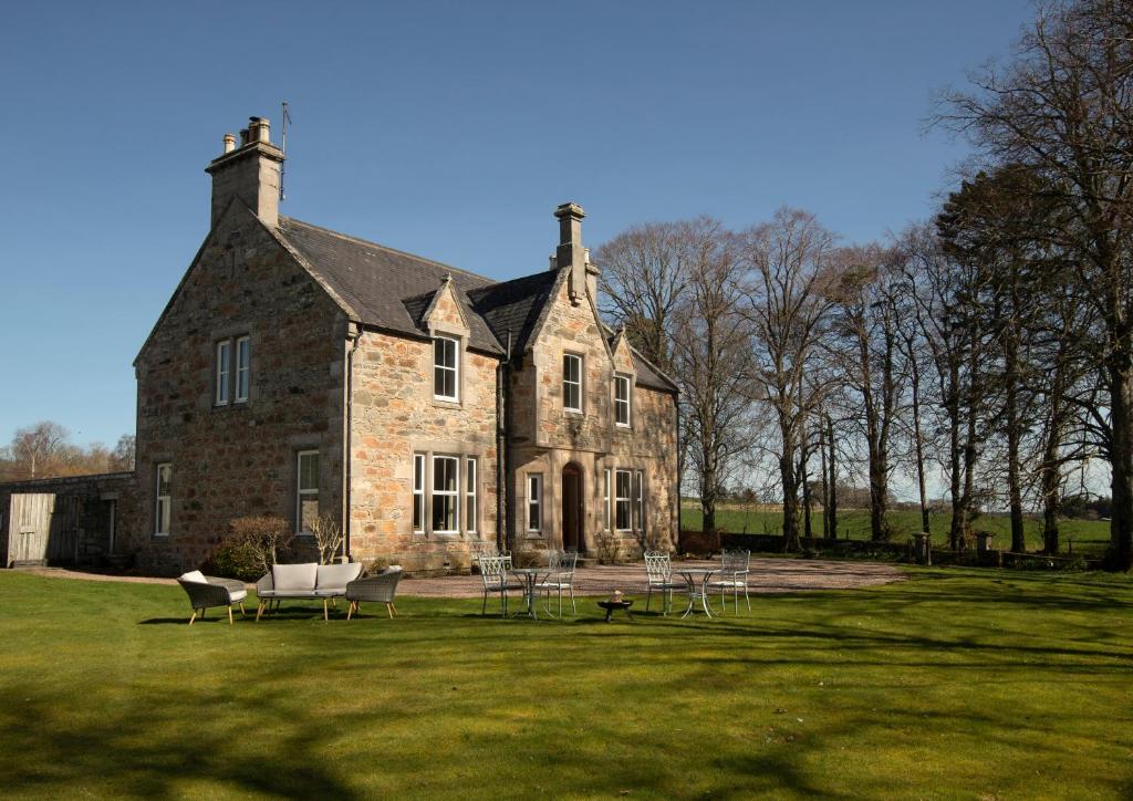 Country house in Letter (carbery East (w.d) By.)Country house · 1080 yd
 Castle (Site of)Castle, unclassified · 1.0 mi
 Kilgarrif Church (in Ruins)Church · 1.3 mi
 Clonakilty Blackpudding Visitor CentreHeritage attraction · 2.1 mi
 Battle of the Big Cross (1798) Memorial MonumentMonument · 2.1 mi
 Clasharusheen Mansion (Site of)Castle, unclassified · 2.2 mi
 Cloch na gCoillteMemorial · 2.2 mi
 Michael Collins House MuseumMuseum · 2.3 mi
 Clonakilty Tourist OfficeVisitor information · 2.3 mi
 Michael Collins MemorialMemorial · 3.2 mi