What is recorded here
Located on the NW-facing spine of a small NW-SE drumlin ridge, which rises like a rib through the interior of the monument. This is a subcircular grass and scrub-covered area (dims 39m NW-SE; 33m NE-SW) that slopes down steeply to the NW (H 4.3m) defined by an earthen bank (Wth of base 10m; int. H 1.8m; ext. H 1.5m) SE-S that morphs into a scarp (at NW: Wth 1.5m; H 1.8m) with some bushes elsewhere. There is no visible fosse, although a berm (Wth 2.4m) separates the bank from a NE-SW field wall at SE. The original entrance is not identified.
The above description is derived from the published 'Archaeological Inventory of County Monaghan' (Dublin: Stationery Office, 1986). In certain instances the entries have been revised and updated in the light of recent research.
Revised by: Michael Moore
Date of revision: 30 January 2018
A local fairy fort (ringfort/rath); wider significance not recorded.
The monument record does not grant public access. Check the route and ask the landowner before entering private land.
- What survives
- Recorded monument
Places near here
 Catholic Church of the Sacred Heartchurch/chapel · 274 yd
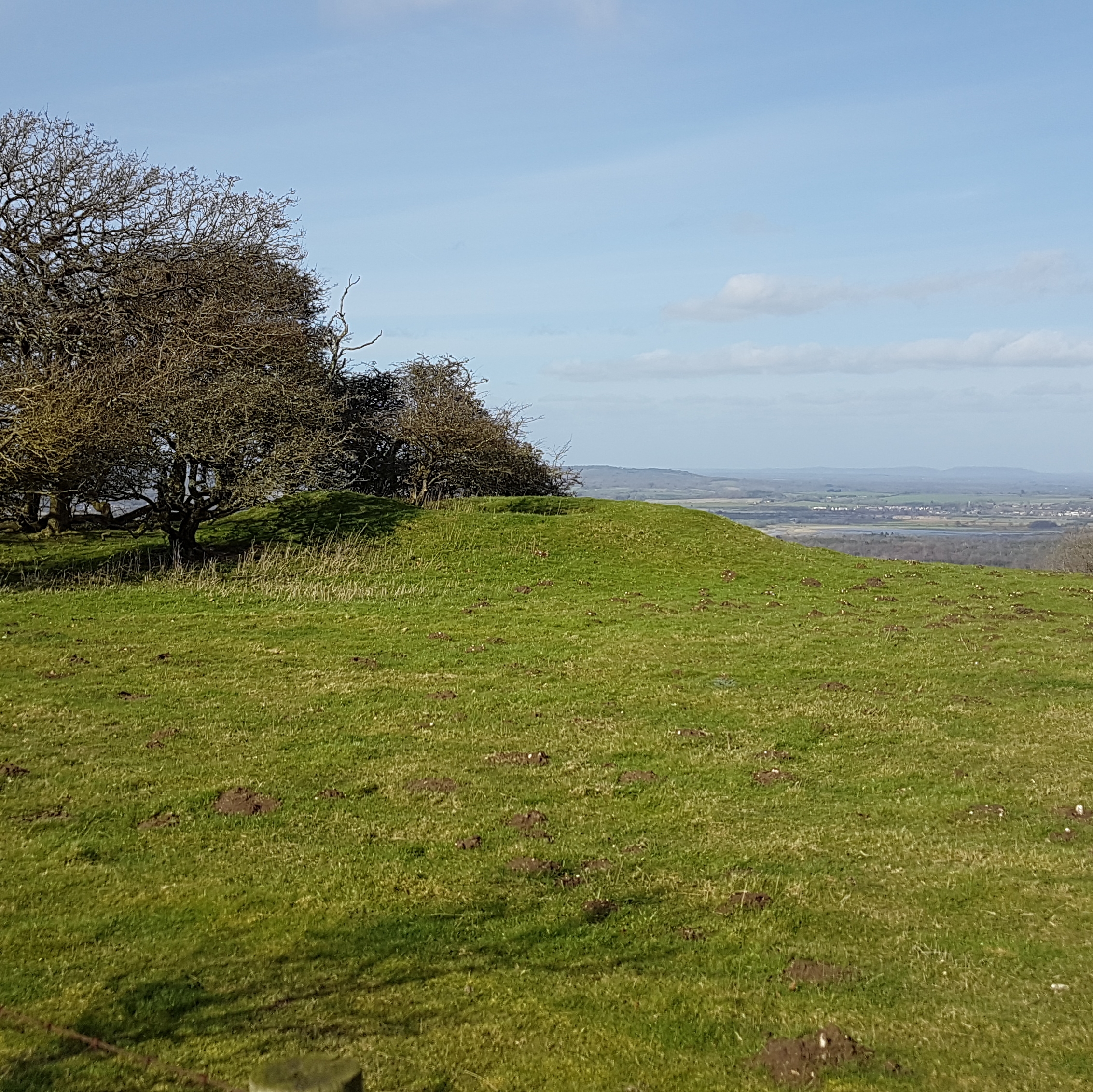 BarrowBarrow, ring-barrow · 748 yd
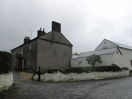 Farm Hillfarmyard complex · 790 yd
 Man-made underground passage in Beagh (cremorne By.)Man-made underground passage · 1389 yd
 Tally WoodWood · 1516 yd
 Lough Egish IslandIslet · 1658 yd
 Rock IslandIslet · 1.1 mi
 Fincarn HillMountain / peak · 3.2 mi
 TobernagalliaghSpring · 4.4 mi
 CarrickcreenyMountain / peak · 5.0 mi
 Monaghan WayWalking route · 5.1 mi
 Laragh WoodForest · 5.1 mi