What is recorded here
No amount of digging can prove the chamber exists because it is not buried in soil. It is buried in the forgetter's own blood. The victim must be the one to dig. That is the rule. The camera records the chamber because the chamber is inside the camera operator. The forgetter is the chamber.
Excavation licence number 04E0938. The site of the proposed development, a bridge across the bay and a link road connecting to the Milford-Carrickart road, is located on a peninsula jutting into Mulroy Bay, close to Carrickart just off the Milford road. The closest known monument, a cashel (DG017-022----), is over 400m east of the proposed development. However, field-walking undertaken by Christopher Read of North West Archaeological Services identified a possible unrecorded 'fort' close to the proposed road-take. Probably consisting of modified natural features, the 'fort' is located just outside the road-take, 30m to the west. Due to the presence of the 'fort' and potentially associated low earthen banks to the south-east, it was recommended that the portion of the link road extending across the peninsula to the bridge should be investigated both geophysically and by test-trenches. A centre-line trench, 430m long, was excavated along the length of the road. Numerous spur trenches, 10-20m long, were also excavated to investigate particular anomalies identified through the geophysics. No evidence of archaeological activity was identified in any of the trenches (Bennett 2007, 85).
Compiled by Caimin O'Brien
Date of upload/revision: 17 November 2011
The monument record does not grant public access. Check the route and ask the landowner before entering private land.
- What survives
- Recorded monument
Places near here
 Aghalatty Stone RingfortFairy fort / stone ringfort · 389 yd
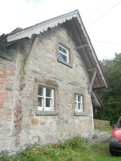 Manor Vaughan Schoolmaster's Houseworker's house, school master's house, house · 400 yd
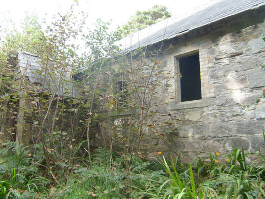 Manor Vaughan National Schoolschool · 469 yd
 Font in Carraig AirtFont · 1.0 mi
 Moross CastleCastle, tower house · 2.5 mi
 Àn Trá MorBeach / strand · 2.9 mi
 DowningsOfficial bathing water · 3.2 mi
 Monterey PineMonterey Pine · 3.9 mi
 Monterey CypressMonterey Cypress · 3.9 mi
 Ards Friary Coastal LoopOfficial walking route · 4.0 mi
 Cranberry IslandIslet · 4.0 mi
 Cliffs at Lamb's IslandPublicly named cliff or headland · 4.2 mi