What is recorded here
Fairy fort / earthen ringfort in Rathscanlan is a fairy fort or earthen ringfort in Rathscanlan, County Sligo, Ireland. The 30m circular area sits on a low bogland rise, bounded by a 3.1m wide earthen bank and scarp, with a 6.5m wide external fosse visible on the southeast and northeast sides. A north-south field boundary cuts through the southern bank and fosse into the centre, where a 1m stone cairn stands beside a man-made underground passage in the northwest quadrant. Cattle poaching, dense overgrowth, badger setts, a small northeast quarry, and western and southern field boundaries now mark the damaged interior.
On a low rise in bogland. A raised circular area (diam. 30m) defined by a flat-topped earthen bank (Wth 3.1m; int. H 0.6m; ext. H 1.3m) NE-NW and by a scarp NW-NE. An external flat-bottomed fosse (Wth 6.5m; D 0.5m) is evident SE-NE. A N-S field boundary crosses the fosse and bank at S leading into the centre of the interior where there is a central cairn of stones (diam. c. 1m). There is a Man-made underground passage (SL037-078002-) in the NW quadrant adjacent to the scarp. The interior is poached by cattle and is densely covered with overgrowth as well as damaged by badger setts. There is a small quarry to NE and a field boundary clips the fosse at W and S.
The above description is derived from the published 'Archaeological Inventory of County Sligo' compiled by Ursula Egan, Elizabeth Byrne, Mary Sleeman with Sheila Ronan and Connie Murphy (Dublin Stationery Office, 2005).
Date of upload: 18 January 2008
The monument record does not grant public access. Check the route and ask the landowner before entering private land.
- What survives
- Recorded monument
Places near here
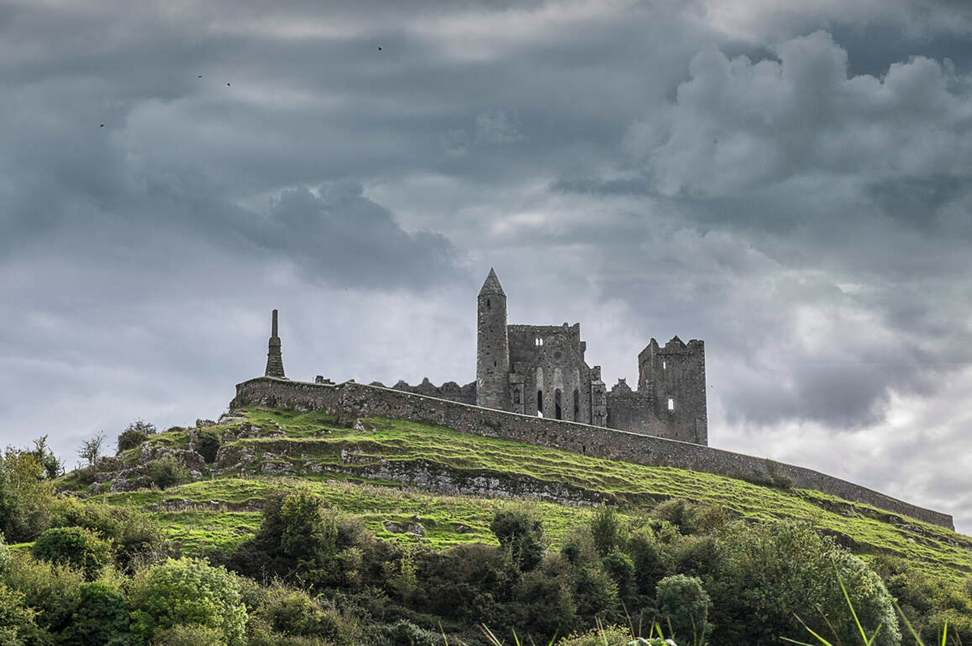 Indicated (1838).Fairy fort / earthen ringfort · 801 yd
 IndicatedFairy fort / earthen ringfort · 1273 yd
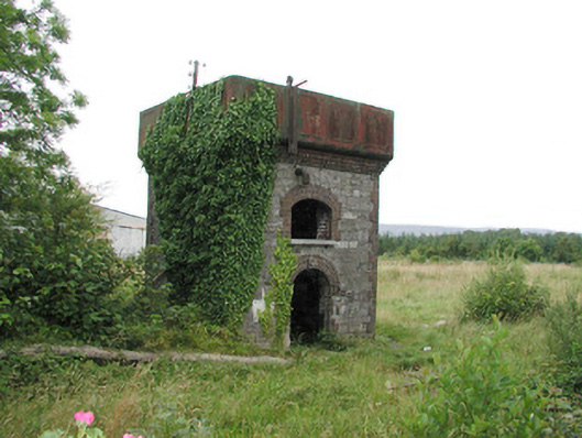 Tobercurry Railway Stationbuilding misc · 1.1 mi
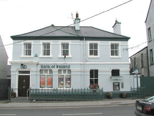 Bank of Irelandbank/financial institution · 1.2 mi
 Ballyara Castle (in Ruins)Castle, unclassified · 1.3 mi
 Castle (Site of)Castle, unclassified · 2.4 mi
 Muckelty HillMountain / peak · 3.7 mi
 Old Cave Burial GroundArchaeological place · 4.1 mi
 Tawnyart WoodWood · 5.0 mi
 New WoodWood · 5.4 mi
 Mass RockNamed rock · 6.6 mi
 Lough Talt TrailVisitor information · 7.8 mi