What is recorded here
Fairy fort in Rathreagh Beg: a circular enclosure in level pasture, marked by a scarped edge, external fosse and bank. People may have lived there before the field swallowed the shape. The fairies kept the name, as they do elsewhere, turning a human house into a warning.
In level pasture. Enclosure, visible as circular cropmark on aerial photograph (LAS), now evident as circular area (20m N-S; 22m E-W) defined by scarped edge (Wth 3.75m; D 0.3m) with external fosse (Wth 2.4m; D 0.3m) and external bank (H 0.1m; Wth 5.7m).
Compiled by: Denis Power
Date of upload: 26 August 2011
See attached ASI aerial photographs ASIAP – taken on 04/03/2006.
The monument record does not grant public access. Check the route and ask the landowner before entering private land.
- What survives
- Recorded monument
Places near here
 Church in Rathreagh MoreChurch · 565 yd
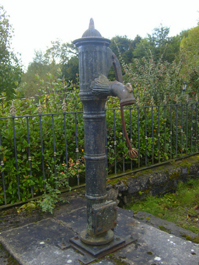 water pumpwater pump · 1174 yd
 St. Lukes WellHoly well · 1324 yd
 St. Luke's WellSpring · 1333 yd
 Mound in Ballyegny BegMound · 1634 yd
 CahermoyleCastle, unclassified · 1.0 mi
 St. Kieran's WellSpring · 1.1 mi
 Castle (in ruins)Castle, tower house · 1.4 mi
 European ashEuropean ash · 3.7 mi
 Limerick GreenwayWalking route · 6.2 mi
 Gammarel PointHeadland · 7.7 mi
 Sugar HillMountain / peak · 7.9 mi