What is recorded here
Thirty metres of raised earth still stand on the Mayo ridge, circled by a deep fosse and outer bank that have survived every plough and boundary change. Brambles choke the centre while ash and hawthorn guard the edge, turning an ancient defensive ring into a tangled green chamber. The clear gap at the southeast may mark the entrance, or it may be only the place where the bank finally surrendered to time.
In undulating average pasture, located on top of a ridge, with good views. A possible rath (MA030-076----) is located c. 70m to SW.
Raised circular area (diam. c. 30m) defined by a scarp (H 1.65m at W, 2m at S), outside which it is enclosed by a fosse (Wth 2-2.80m) with an external bank (Wth 4.6m; int. H 1.3m; ext. H 1.1m, at S). The fosse is well defined around the full circuit. The external bank remains substantial at SE-N, where it serves as a field boundary, but has been levelled at NE–SE. There is a low slumped break (Wth 3m) in the scarp at E, and at the SE there is a gap (Wth 1.3m), but it is not clear if either represents the original entrance. The level interior is covered in brambles, and the perimeter is ringed with ash and hawthorn.
Compiled by: Jane O’Shaughnessy
Date of upload: 5 June 2018
The monument record does not grant public access. Check the route and ask the landowner before entering private land.
- What survives
- Recorded monument
Places near here
 IndicatedEnclosure · 779 yd
 Enclosure in BallyholanEnclosure · 811 yd
 store/warehousestore/warehouse · 1.2 mi
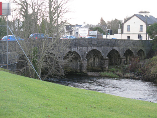 Bunree Bridgebridge · 1.2 mi
 Belleck CastleCastle, unclassified · 1.3 mi
 CastleCastle, unclassified · 1.6 mi
 Humbert MonumentMemorial · 1.6 mi
 The Marshall Doran CollectionGallery · 2.1 mi
 FloretteWreck · 2.1 miBattle of Ballinabattle · 2.1 mi
 Belleek WoodsWood · 2.2 mi
 Rinphilip PointHeadland · 3.4 mi