What is recorded here
No visible wall remains, but a house and garden now occupy the ring marked on the 1837 and 1930 maps, while another rath waits seventy metres to the northeast. The fort has not disappeared so much as been absorbed, its ancient line hidden beneath domestic life on the ridge.
In pasture, located on rise at NW end of a NW-SE ridge. A rath (MA030-077----) is located c. 70m to NE.
This possible rath is depicted on the 1837 and 1930 OS 6-inch maps as a roughly circular embanked enclosure (diam. c. 25m), incorporated into later field fences at E−S. There are no remains visible at ground level; the location is partly overlain by a modern house and garden.
Compiled by: Jane O’Shaughnessy
Date of upload: 5 June 2018
The monument record does not grant public access. Check the route and ask the landowner before entering private land.
- What survives
- Recorded monument
Places near here
 IndicatedEnclosure · 689 yd
 Enclosure in BallyholanEnclosure · 843 yd
 store/warehousestore/warehouse · 1.2 mi
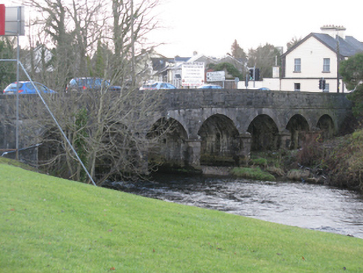 Bunree Bridgebridge · 1.2 mi
 Belleck CastleCastle, unclassified · 1.3 mi
 CastleCastle, unclassified · 1.5 mi
 Humbert MonumentMemorial · 1.6 miBattle of Ballinabattle · 2.1 mi
 The Marshall Doran CollectionGallery · 2.1 mi
 FloretteWreck · 2.1 mi
 Belleek WoodsWood · 2.2 mi
 Rinphilip PointHeadland · 3.4 mi