What is recorded here
In Rathkenny, a circular earthen fort once rose above the land, marked clearly on maps from 1841 to 1898 before human hands levelled it into oblivion. It may have housed a family, a herdsman, or a forgotten chieftain, but the soil swallowed its purpose and shape. What remains is only the memory of a circle, erased not by time but by the relentless drive to make land useful for fields or roads.
Marked on the 1841-42 and 1898 OS maps as a circular enclosure, this site has been levelled and no surface trace survives.
The above description is derived from C. Toal, ‘North Kerry Archaeological Survey’. Dingle. Brandon in association with FAS Training and Employment Authority (1995), no. 779. In certain instances the entries have been revised and updated in the light of recent research.
Date of upload: 2 August 2013
The monument record does not grant public access. Check the route and ask the landowner before entering private land.
- What survives
- Recorded monument
Places near here
 Tobar na MoltSpring · 937 yd
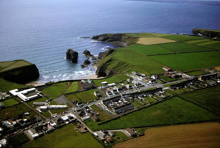 Man-made underground passage in Ballybroman,rathkennyMan-made underground passage · 1069 yd
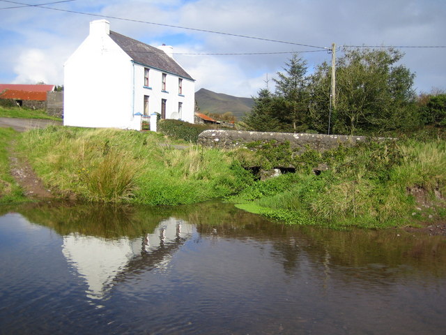 LissadroughArchaeological place · 1075 yd
 Church in Kilgulbin EastChurch · 1.4 mi
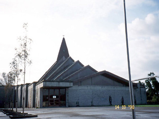 Saint Bernard's Catholic Churchchurch/chapel · 1.9 mi
 CastleCastle, unclassified · 2.0 mi
 Ardfert Franciscan FriaryVisitor information · 2.2 mi
 Ardfert FriaryVisitor information · 2.2 mi
 Site of CastleCastle, unclassified · 2.3 mi
 Statue of Roger CasementMemorial · 2.5 mi
 15th Centenary of the birth of St-BredanMemorial · 2.5 mi
 Ardfert CathedralHeritage attraction · 2.5 mi