What is recorded here
Three earthen rings and fosses still stand on rising Kerry land, enclosing a wide inner circle and a broad outer band where workshops or dwellings may have crowded. Below the southwest sector, beehive chambers and tunnels hide beneath the fort, venting air through the bank and carrying ogham marks on lintels and stones. One chamber flooded, another collapsed, and a precious ogham lintel was taken without permission, but the ringfort keeps its shape and holds what it can.
Internal diameter 37m N-S, 34m E-W. Lismore/Lios Mór (large ringfort). This multivallate rath is situated on rising land and has an extensive view of the surrounding countryside. It consists of a circular area enclosed by three banks and fosses. The circular inner area is enclosed by an earthen bank which rises to a maximum of 1.5m internally and 2.8m externally. The fosse encloses much of this inner area, except N through E to SE. Elsewhere it is well defined and U shaped, c 2.4m wide and 1.4m deep. The middle earthen enclosing bank does not encircle the whole inner area and is not visible from the ENE through E to S. However, for the rest, the bank rises to a maximum of 1.8m internally and 3.6m externally. The middle fosse is only visible where the middle bank is visible and varies from 1.4m-3m wide. The outer enclosing earthen bank is well defined and runs for the whole site. It rises to a maximum of 2.6m internally and 3.6m externally. For 9.8m on the interior of the outer ring, in the E sector, the wall would appear to be stone lined. The outer external fosse is only traceable from the NE through E to S to SW. Here it is U shaped and is c 1.2m below the height of the surrounding land. The entrance is situated to the SW on the outer ring and measures 5m wide. It has a corresponding entrance on the middle ring, measuring 3.6m wide. Entrance to the internal area is provided by an entrance to the E on the inner ring.
In the SW sector of the interior are the remains of a Man-made underground passage (KE021-087001-). An opening was made into one of the chambers in the late 1970s, so the drystone walling construction of the chambers and tunnels is quite visible. As one enters, one sees an air vent, which leads through the earthen enclosing bank in the SW sector to its exterior side, thus providing fresh air to the chamber. A large ogham stone (KE021-087002-) is visible overhead. The centre chamber has much infill in it due to the way it was opened. To the left on entering there is a small narrow passage which leads to a chamber, sub-circular in plan and constructed in the beehive tradition. The lintel stone on the chamber side of the tunnel displayed ogham writing (KE021-087004-), but sadly it was removed without permission. To the right on entering there is another small tunnel which leads to a beehive chamber. The lintel stone on the tunnel side also displays ogham writing (KE021-087005-). However, the chamber could not be investigated as it was too flooded to enter. It would appear that a tunnel leading to a fourth chamber and possibly others has now collapsed, but it would seem to have run roughly NE towards the interior of the fort.
The space between the inner ring and outer ring, which runs from the NE through E to S, was possibly an area for workshops and dwellings, whereas the N through W to S sides of this fort are well defended and well fortified. The overall external diameter of this rath is 105m N-S and 106.6m E-W.
The above description is derived from C. Toal, ‘North Kerry Archaeological Survey’. Dingle. Brandon in association with FAS Training and Employment Authority (1995), no. 774. In certain instances the entries have been revised and updated in the light of recent research.
Date of upload: 2 August 2013
This monument is subject to a preservation order made under the National Monuments Acts 1930 to 2014 (PO no. 186/1949).
The monument record does not grant public access. Check the route and ask the landowner before entering private land.
- What survives
- Recorded monument
Places near here
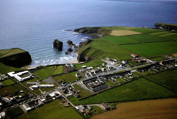 Man-made underground passage in Ballybroman,rathkennyMan-made underground passage · 424 yd
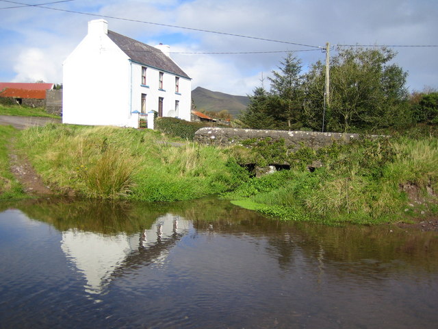 LissadroughArchaeological place · 1049 yd
 Tobar na MoltSpring · 1492 yd
 Church in Kilgulbin EastChurch · 1707 yd
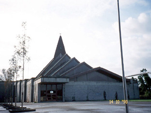 Saint Bernard's Catholic Churchchurch/chapel · 1.6 mi
 Ardfert Franciscan FriaryVisitor information · 2.2 mi
 Ardfert FriaryVisitor information · 2.2 mi
 Site of CastleCastle, unclassified · 2.5 mi
 Statue of Roger CasementMemorial · 2.5 mi
 15th Centenary of the birth of St-BredanMemorial · 2.6 mi
 Ardfert CathedralHeritage attraction · 2.6 mi
 Ballymacaquinn Castle (remains of)Castle · 3.0 mi