What is recorded here
Fairy fort in Rathdaniel, County Carlow. Circular area fifty metres across, enclosed by two earthen banks with a fosse between them. The inner bank rises half a metre above the inside and four and a half metres above the fosse base. The entrance has disappeared, but the double ridge still turns like a bowl facing upward, holding rain, grass and the memory of a threshold nobody marked.
The following description is derived from the published 'Archaeological Inventory of County Carlow' (Dublin: Stationery Office, 1993). In certain instances the entries have been revised and updated in the light of recent research.
Date of upload/revision: 17 July 2007
Historic Monument No. HM00334, this monument was entered in the Register of Historic Monuments on the 22 December 1980. Circular area (diam. 50m) enclosed by two earthen banks with intervening fosse, best preserved S-W-N. Inner bank rises above interior (c. 0.5m), and above fosse base (max. 4.5m). Entrance not identifiable.
A fairy fort, or earthen ringfort in Rathdaniel, is a circular earthwork enclosure typical of early-medieval Ireland, likely dating to between the 5th and 10th centuries AD. Local tradition associates such sites with the supernatural, often believed to be the homes of the "good people" or fairies.
The monument record does not grant public access. Check the route and ask the landowner before entering private land.
- What survives
- Recorded monument
Places near here
 Enclosure in Ricketstown SouthEnclosure · 1549 yd
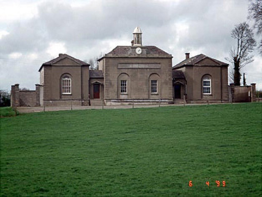 D'Israeli Schoolschool master's house · 1627 yd
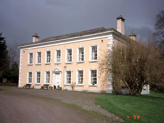 Rathmore Housecountry house · 1.1 mi
 Church (site of), Burial GroundChurch · 1.2 mi
 Church (in ruins), Cross, GraveyardChurch · 1.9 mi
 Site of CastleCastle, unclassified · 2.0 mi
 Rahill Church (in ruins), GraveyardChurch · 2.8 mi
 Coppenagh CastleCastle, tower house · 2.9 mi
 European ashEuropean ash · 3.4 mi
 Duckett's GroveHeritage attraction · 3.8 mi
 Cork oakCork oak · 4.6 mi
 Castledermot Round TowerHeritage attraction · 5.3 mi