What is recorded here
Mortons and Fairys have inhabited Rathcormick since before written history. Jean Charles Caillère identified the earthworks, yet human eyes saw them moving through sky and soil long before measurement. The fort is not a dead shape but a living boundary where human and fairy life still overlap.
Situated on a gently undulating landscape. The cropmark of a subcircular enclosure (dims c. 47m E-W; c. 40m N-S) defined by a single fosse feature is visible on Google Earth (29/06/2018). It is also faintly traceable on OSI images (2018). It was first reported by Jean Charles Caillère.
See the attached image from Google Earth 29/06/2018
Compiled by: Michael Moore
Date of upload: 5 June 2019
The monument record does not grant public access. Check the route and ask the landowner before entering private land.
- What survives
- Recorded monument
Places near here
 IndicatedFairy fort / earthen ringfort · 614 yd
 St Mary's Church, (site of)Archaeological place · 978 yd
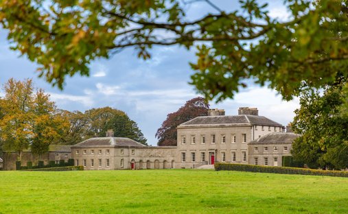 Ballynadrimna HouseRuins · 1.1 mi
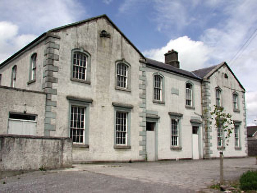 Saint Dympna's Hallalmshouse · 1.6 mi
 MoatCastle, motte and bailey · 1.6 mi
 Moyrath CastleCastle, tower house · 1.7 mi
 FraineMountain / peak · 1.9 mi
 ScregganWood · 4.1 mi
 Persian WalnutPersian Walnut · 5.6 mi
 The New Line RoadMemorial · 8.7 mi
 BohermeenMountain / peak · 8.7 mi
 Croppies' GraveMemorial · 9.5 mi