What is recorded here
No visible fort exists at Rathcobane today. Survey lines drawn decades ago marked a thirty-metre circular bank, but grass, soil and forgotten time have erased every edge that could be walked or measured. What remains is a hidden shape, recorded only through distance and belief.
In pasture, on natural terrace on S-facing slope. Shown all eds OS 6-inch map as C-shaped arc of bank (diam. c. 30m), the circle completed to NW by a scarp on 1842 OS 6-inch map. Completely overgrown, inaccessible.
The above description is derived from the published 'Archaeological Inventory of County Cork. Volume 2: East and South Cork' (Dublin: Stationery Office, 1994). In certain instances the entries have been revised and updated in the light of recent research.
Date of upload/revision: 14 January 2009
The monument record does not grant public access. Check the route and ask the landowner before entering private land.
- What survives
- Recorded monument
Places near here
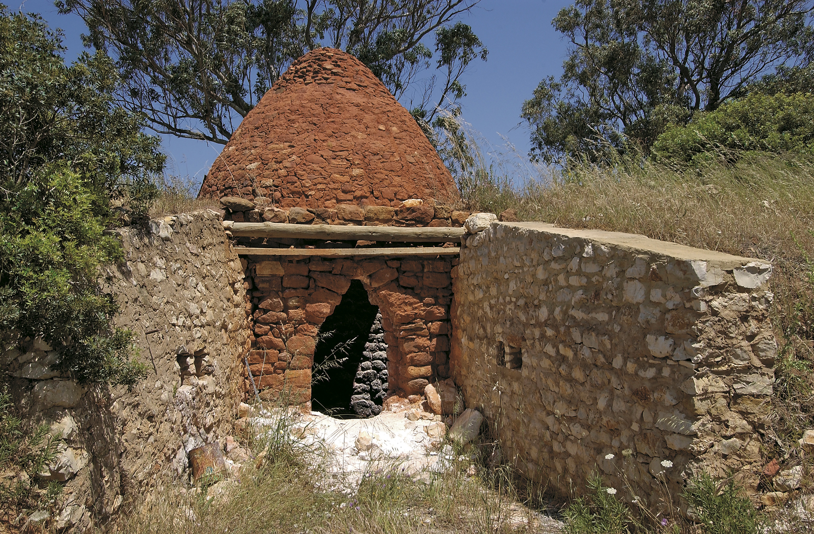 KilnKiln, lime · 620 yd
 IndicatedEnclosure · 1.0 mi
 Seanna Chill (Site of)Church · 1.0 mi
 Caherduggan HouseCountry house · 1.1 mi
 Monananig WoodsWood · 1.3 mi
 Court (site of )Castle, unclassified · 1.4 mi
 Devonshire's HillMountain / peak · 2.0 mi
 Moanbaun ForestForest · 2.1 mi
 Rathcormac massacremassacre · 2.8 mi
 Leamlara Castle (in Ruins)Castle, tower house · 2.9 mi
 Graveyard in KillasseraghGraveyard · 5.2 mi
 Gleeson MemorialMemorial · 5.2 mi