
What is recorded here
Fairy fort in Rathcassan, County Louth: a raised circular earth and stone platform, thirty-one and a half metres across and three to four metres high, surrounded by the remains of a much-worn bank. Its name suggests people once believed it belonged to the fairies rather than themselves, a common local story for old ringforts. The earth may have supported a home, a boundary marker or a place of memory, but no surviving detail confirms which. What remains is a broad shallow dish of soil and stone, quiet under the sky, waiting for someone to walk its edge and imagine the hands that shaped it.
The following description is derived from both the published 'Archaeological Inventory of County Louth' (Dublin: Stationery Office, 1986) and the 'Archaeological Survey of County Louth' (Dublin: Stationery Office, 1991). In certain instances the entries have been revised and updated in the light of recent research.
Date of upload/revision: 17 July 2007
Raised circular earth and stone platform (int. diam. 31.5m, H 3-4m) enclosed by traces of much-degraded bank. Possible ancient entrance gap at E. Wide berm-like feature at base of platform at the N is possibly connected with tree plantation.
The monument record does not grant public access. Check the route and ask the landowner before entering private land.
- What survives
- Recorded monument
Places near here
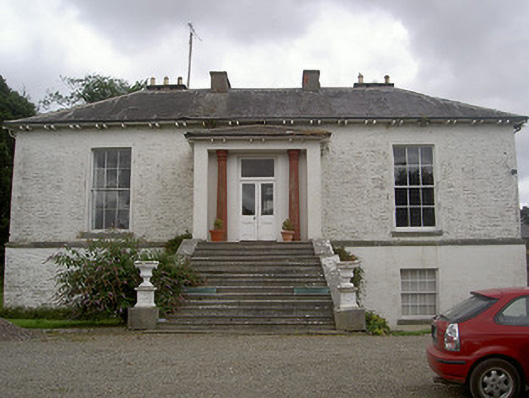 Corderry Housecountry house · 357 yd
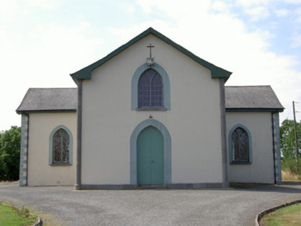 Enclosure in RathcassanEnclosure · 485 yd
 CastleCastle, tower house · 695 yd
 IndicatedGraveyard · 706 yd
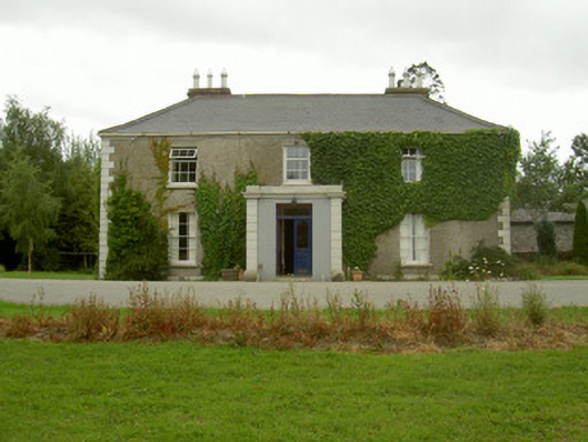 Kilincoole Househouse · 733 yd
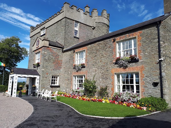 Darver CastleCastle · 1.2 mi
:no_upscale()/cdn.vox-cdn.com/uploads/chorus_asset/file/25593391/County_Louth_6th.jpg) LouthMountain / peak · 2.0 mi
LouthMountain / peak · 2.0 mi Photo GalleryHeritage attraction · 5.2 mi
 Dundalk CentralHeritage attraction · 5.2 mi
 Maid of ErinMemorial · 5.6 mi
 Bombing 1975Memorial · 5.6 mi
 Soldiers' PointHeadland · 7.3 mi
Other information
Photo: Credit not shown in the picture search · Rights wording not checked; contact us if this picture should be removed