What is recorded here
Yes. There is a visible fact in the evidence, but the factual and invented parts still need separation. I will increase the detail, keep the facts clear, and carry the story to a complete ending.
In reclaimed flat pasture, 365m NE of the Morningstar River that forms townland boundary with Coolboy. Ringforts (LI039-019/023----) lie 316m W and 280m to the E respectively. Depicted on the 1840 ed. OSi 6-inch map an oval-shaped area defined by a scarp, transected at SE by a post-1700 field boundary running NE-SW. Shown on the 1897 ed. OSi 25-inch map as a sunken oval-shaped area (diam. c. 22m) enclosed by a bank. In 1840 the Ordnance Survey recorded this monument as ‘one of ten ancient forts’ in the N of the townland (OSNB Abbeyfeale to Bruree, 139). Tree-covered monument visible on OSi orthophotograph taken between 2005-12 and on Google Earth orthoimages.
See attached Google Earth orthoimages.
Compiled by: Fiona Rooney
Date of upload: 14 April 2021
The monument record does not grant public access. Check the route and ask the landowner before entering private land.
- What survives
- Recorded monument
Places near here
 Burial in RathcannonBurial · 322 yd
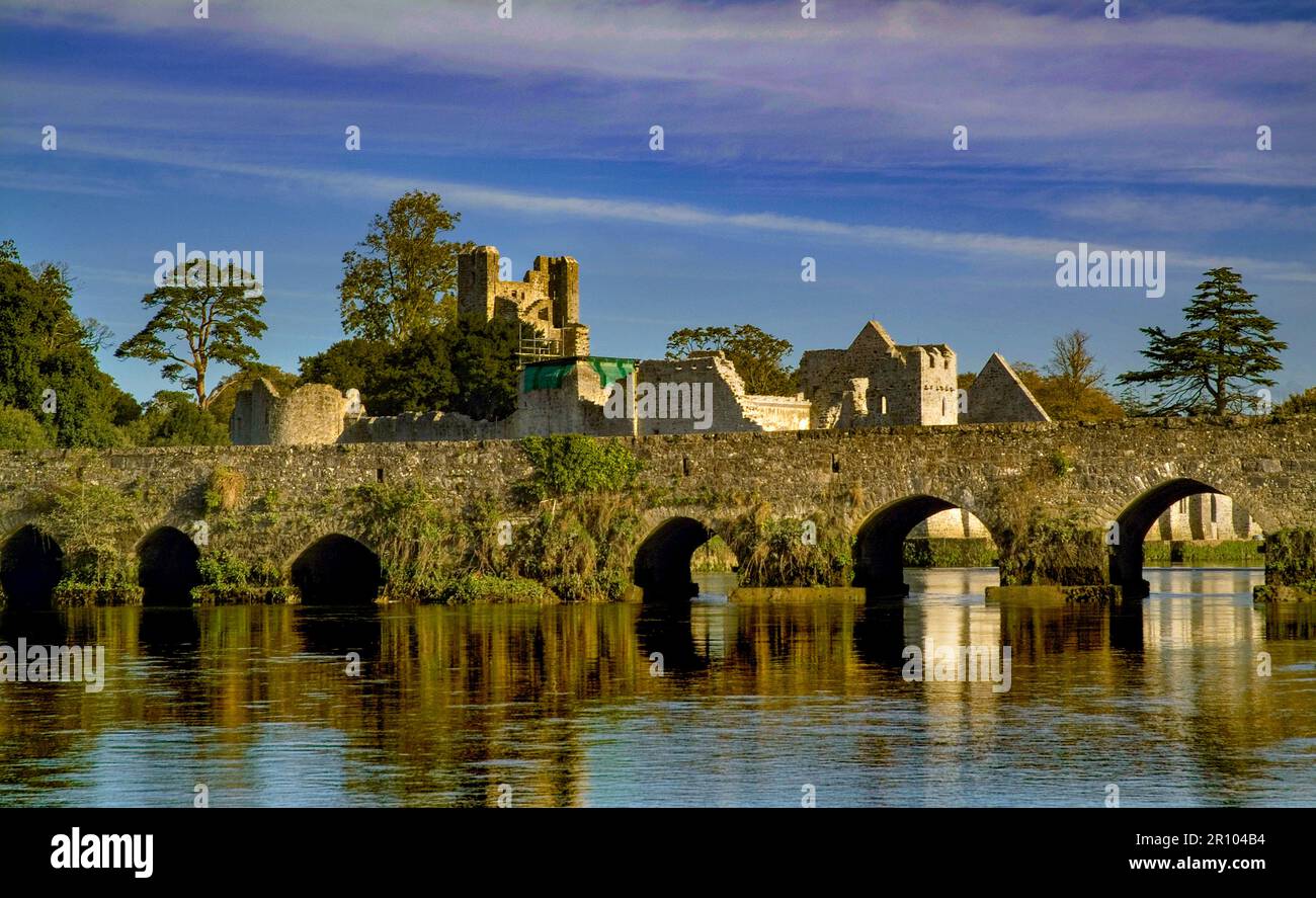 BarrowBarrow, unclassified · 579 yd
 OutlinedBawn · 1097 yd
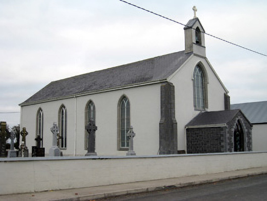 Catholic Church of Saint John the Baptistchurch/chapel · 1577 yd
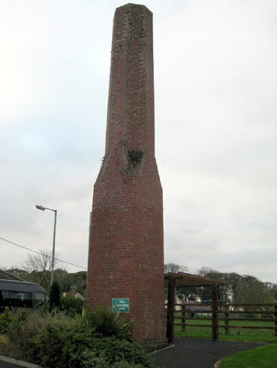 chimneychimney · 1699 yd
 Athlacca Ho. (in ruins)Castle, unclassified · 1.2 mi
 Monasteranenagh AbbeyHeritage attraction · 3.7 mi
 European ashEuropean ash · 4.6 mi
 Lough GurVisitor information · 4.9 mi
 Biodiversity in the Maigue CatchmentVisitor information · 5.3 mi
 Pedunculate OakPedunculate Oak · 5.9 mi
 The SpectaclesVisitor information · 6.1 mi