What is recorded here
Ten ancient forts stood in Rathcannon when the Ordnance Survey passed in 1840, but only faint oval scars remain in the flat pasture beside the Morningstar River. The largest survives as a low bank and shallow ditch, partially levelled at the east where a modern gap opens toward the water. A small circular shadow in the northwest quadrant suggests a hut once occupied the interior, while the drainage channel still cuts through the ancient line. The fort has lost most of its shape, yet the boundary between townlands and the memory of ten structures keep it company.
In reclaimed flat pasture, 50m E of the Morningstar River that forms townland boundary with Coolboy. Enclosure (LI039-021----) lies 316m to the E. Depicted on OSi historic maps as an oval-shaped platform defined by a scarp. In 1840 the Ordnance Survey recorded this monument as ‘one of ten ancient forts’ in the townland (OSNB Abbeyfeale to Bruree, 139). Surveyed by the OPW in 1964 and described as a circular-shaped platform (diam. c. 20m) defined by a scarp (H. 0.6m) with shallow fosse (Wth. 1.8m), intersected at E by a drainage channel. The interior slopes to the W, with bank (H. 0.6m) above the interior level. Monument partially levelled at E, visible on Google Earth orthoimage dated 25/03/2017, as an oval-shaped platform (dims. c. 23m NE-SW; 16m NW-SE) enclosed by a low bank with fosse from SE-S-W-N. A sub-circular shaped area (dims. c. 5m N-S; 4m E-W) visible in the NW quadrant of the interior, could be the remains of a possible hut site. Trace of outer fosse enclosing the monument transected at SE by drainage channel running NE-SW. Modern gap at E visible on Google Earth orthoimage dated 14/09/2019.
See attached section drawing by Henry A. Wheeler and Google Earth orthoimages.
Compiled by: Fiona Rooney
Date of upload: 14 April 2021
The monument record does not grant public access. Check the route and ask the landowner before entering private land.
- What survives
- Recorded monument
Places near here
 Burial in RathcannonBurial · 468 yd
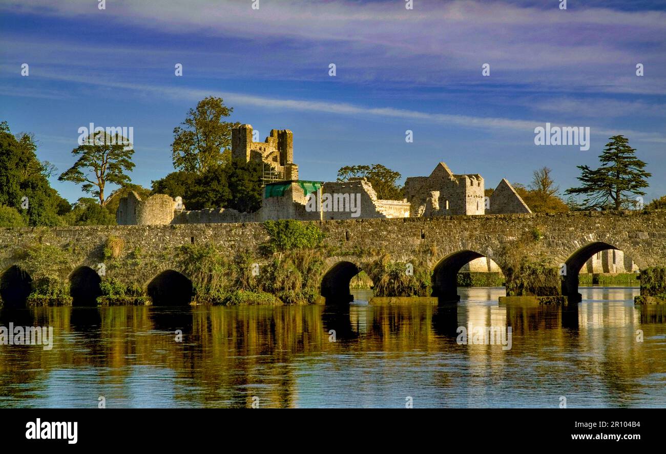 BarrowBarrow, unclassified · 679 yd
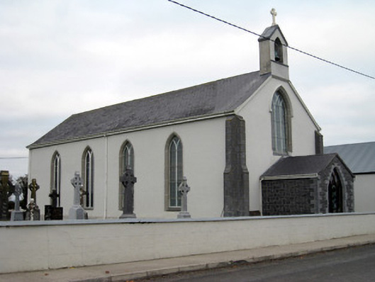 Catholic Church of Saint John the Baptistchurch/chapel · 1362 yd
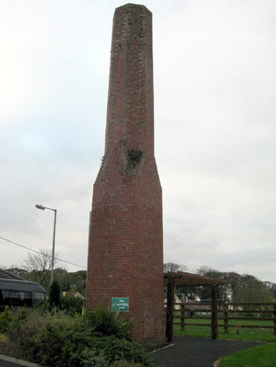 chimneychimney · 1415 yd
 OutlinedBawn · 1433 yd
 Castle IeversCastle, unclassified · 1.1 mi
 Monasteranenagh AbbeyHeritage attraction · 3.7 mi
 European ashEuropean ash · 4.4 mi
 Lough GurVisitor information · 5.1 mi
 Biodiversity in the Maigue CatchmentVisitor information · 5.1 mi
 Pedunculate OakPedunculate Oak · 6.1 mi
 The SpectaclesVisitor information · 6.2 mi