What is recorded here
Knockdarnan: One of ten ancient forts in Rathcannon, preserved as an oval ringfort above pasture. Its earth and stone bank still stands two and a half metres high, enclosing a clear interior that slopes eastward. The fort has watched this land since before maps named it, and it may have housed people, herds or memory itself.
Atop rise of ground in pasture, 375m W of townland boundary with Ballinculloo, standing stone (LI039-020----) lies 195m to the NW. Depicted on the 1840 ed. OSi 6-inch map as an oval shaped platform defined by a scarp with OS trig. station marking spot height of 316 ft. OD in centre of earthwork. Local area annotated 'Knockdarnan' on 1840 ed. OSi map. Shown on the 1897 ed. OSi 25-inch map as a raised oval-shaped area (dims. c. 54m NE-SW ) defined by a scarp and external fosse from SW-W-N-NE. On this map the OS Trig. station is depicted on the SW edge of the scarp of the monument. In 1840 the Ordnance Survey recorded this monument as ‘one of ten ancient forts’ in the centre of the townland (OSNB Abbeyfeale to Bruree, 139). Monument visible on aerial photograph (ASIAP (305) 37, (328) 12) taken 13/09/2002 and 05/10/2002.
Surveyed by the ASI and described as an oval-shaped platform (dims. 48.6m N-S; 56.5m E-W) enclosed by an earth and stone bank (Wth 6.5m; H 2.53m) visible from NE-E-S and partially levelled elsewhere. The interior is clear and slopes naturally to the E. Levelled monument visible as an oval-shaped cropmark on OSi orthophotograph taken between 2005-12 and as oval-shaped platform enclosed by a bank from N-E-S-SE cropmark of fosse on Google Earth orthoimage dated 24/09/2018. A linear cropmark running NE-SW which intersects the monument at SW is visible on Google Earth orthoimage dated 24/09/2018 and 20/09/2020.
See attached sketch plan from ASI survey, aerial photographs (ASIAP (305) 37, (328) 12) taken 13/09/2002 and 05/10/2002. and Google Earth orthoimages.
Compiled by: Fiona Rooney
Date of upload: 14 April 2021
The monument record does not grant public access. Check the route and ask the landowner before entering private land.
- What survives
- Recorded monument
Places near here
 Bawn in Ballycullane (kilmallock By.)Bawn · 754 yd
 Enclosure in RathcannonEnclosure · 1244 yd
 OutlinedBawn · 1289 yd
 EnclosureEnclosure, large enclosure · 1375 yd
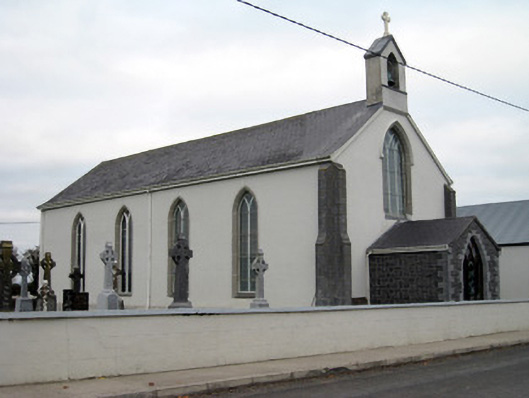 Catholic Church of Saint John the Baptistchurch/chapel · 1.0 mi
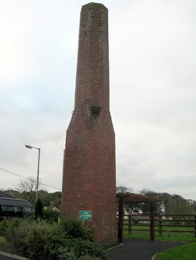 chimneychimney · 1.2 mi
 King John's CastleCastle · 3.9 mi
 Monasteranenagh AbbeyHeritage attraction · 4.9 mi
 European ashEuropean ash · 5.5 mi
 Biodiversity in the Maigue CatchmentVisitor information · 6.3 mi
 Pedunculate OakPedunculate Oak · 6.5 mi
 Flat cemetery in Knockainy WestFlat cemetery · 7.2 mi