What is recorded here
A thirty-metre earthen ring in Rathcahill East, marked on a 1924 map but now hidden beneath dense overgrowth, still carries the shape of a human-made boundary. Its bank has been levelled and its outer ditch infilled from the northwest to the northeast, yet the circle remains visible enough to suggest that people once drew a line around a place they valued. The fairies may have taken the name, but the earth remembers the hands that shaped it.
In level pasture. Monument, depicted as embanked circular enclosure (diam. c. 30m) on 1924 OS 6-inch map, is now largely covered by dense overgrowth. As far as could be ascertained site is enclosed by earthen bank with external fosse. Bank levelled and fosse infilled NW->NE.
Compiled by: Denis Power
Date of upload: 26 August 2011
The monument record does not grant public access. Check the route and ask the landowner before entering private land.
- What survives
- Recorded monument
Places near here
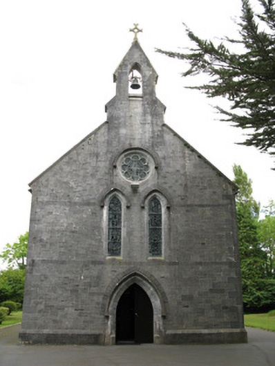 Saint Mary's Catholic Churchchurch/chapel · 1144 yd
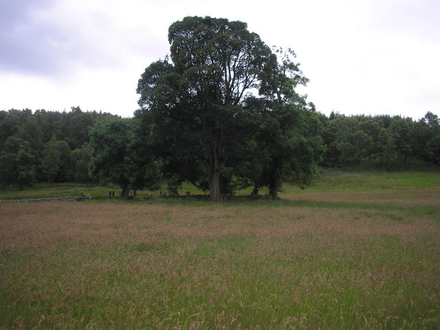 Burial GroundGraveyard · 1290 yd
 Enclosure in GardenfieldEnclosure · 1668 yd
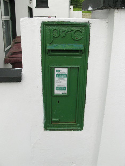 post boxpost box · 1721 yd
 Glenquin CastleCastle · 2.0 mi
 Dotted outlineBawn · 2.3 mi
 Saint Ite's WellSpring · 2.4 mi
 TobereenalaffinaSpring · 3.1 mi
 Sugar HillMountain / peak · 3.3 mi
 Ballagh MountainMountain / peak · 3.3 mi
 Limerick GreenwayWalking route · 3.5 mi
 Mullaghareirk - Banane LoopWalking route · 7.2 mi