What is recorded here
Situated at the edge of a fairly level landscape with a slight slope down to a N-S stream c. 100m to the W. This is known locally as Rathavsree, thought to derive from Rathamhaistir – the master’s rath. A NNW-SSE field bank has truncated most of this site, which lies to the E of the field bank, but to the W is a D-shaped grass and scrub-covered area (dims c. 20m NNW-SSE; c. 5m E-W) defined by a scarp (H c. 1m). The field to the E has no indications of an enclosure but it is known as the rath field.
Compiled by: Michael Moore
Date of upload: 20 August, 2013
A fairy fort or earthen ringfort in Rathangan, likely dating to the early medieval period, is known locally as Rathavsree, possibly derived from "Rathamhaistir," meaning "the master’s rath." It is associated with local folklore referring to it as a dwelling place of fairies or other supernatural beings.
The monument record does not grant public access. Check the route and ask the landowner before entering private land.
- What survives
- Recorded monument
Places near here
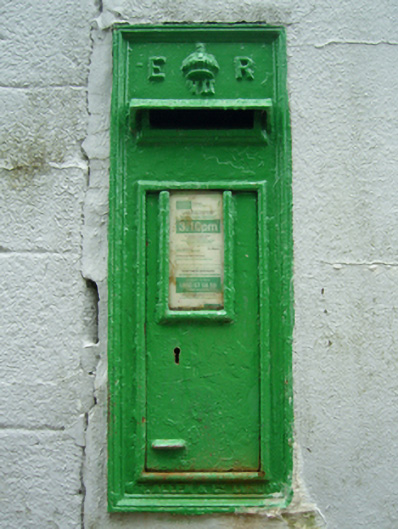 post boxpost box · 507 yd
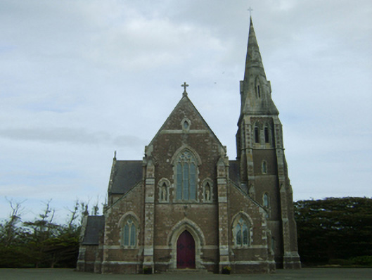 Catholic Church of the Assumption and Saint Laurence O'Toolechurch/chapel · 568 yd
 IndicatedCastle, motte · 1698 yd
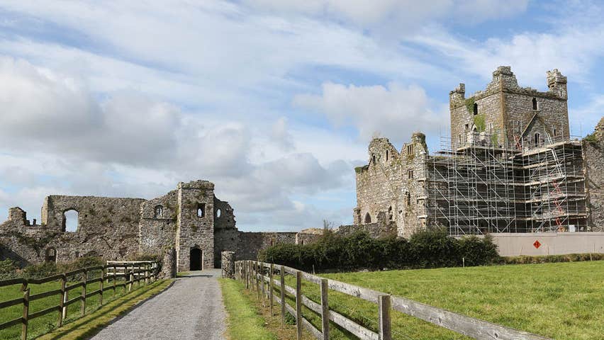 Castle (Site of)Castle, unclassified · 1.0 mi
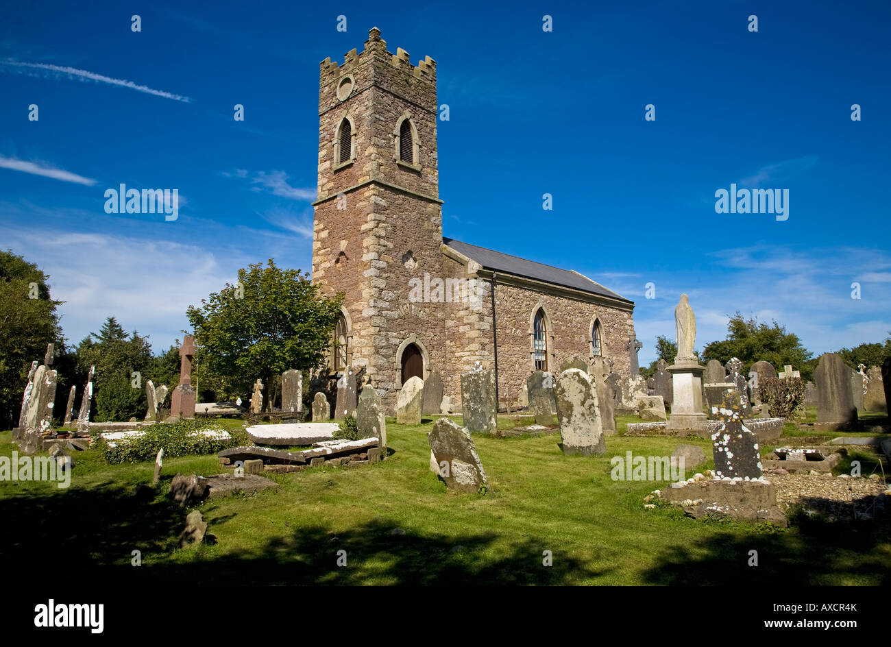 Ecclesiastical enclosure in DuncormickEcclesiastical enclosure · 1.4 mi
 Not idicatedFulacht fia · 1.4 mi
 Cull IslandIsland · 1.8 mi
 Ballyteigue BurrowNature reserve · 2.6 mi
 Memorial Trail & Garden in Honour of Those Lost at SeaMemorial · 4.1 mi
 Ivan Sutton Art ExhibitionGallery · 4.1 mi
 Whale boneHeritage attraction · 4.1 mi
 Kilmore Quay - Crehen Twinning MemorialMemorial · 4.1 mi