What is recorded here
Three earthen rings circle the top of Windmill Hill, trapping a ruined mill and forcing every visitor to walk backward through time. The outer bank fades into grass, the middle ring joins modern fences, and the inner wall still guards a six-metre gap facing southeast. People may have lived there before mills, or the mill may have worn away older shapes until only fairy rings remained.
On top of a Windmill Hill, within western end of small deciduous plantation. Roughly circular area (58m NNE-SSW; 48.9m NW-SE) enclosed by three earthen banks and intervening fosses. Inner bank (int. H 0.1m; ext. H 1m, to base of fosse) surrounded by shallow dry fosse; entrance (Wth 6.2m) to SE. Middle bank (ext. H 1.2m, to base of fosse) incorporated into field fence system to NW and SW; surrounded by shallow fosse N->E; low curving bank blocks entrance to SE, may be later feature. Outer bank traceable to NW as low rise, survives as low bank (ext. H 0.4m) N -> ESE. Centre of interior slightly raised, sloping gently downwards to inner face of inner bank. Ruined windmill (CO007-11302-) at centre of interior.
The above description is derived from the published 'Archaeological Inventory of County Cork. Volume 4: North Cork' (Dublin: Stationery Office, 2000). In certain instances the entries have been revised and updated in the light of recent research.
Date of upload/revision: 14 January 2009
The monument record does not grant public access. Check the route and ask the landowner before entering private land.
- What survives
- Recorded monument
Places near here
 Windmill HillMountain / peak · 7 yd
 Enclosure in Rath (orrery and Kilmore By.)Enclosure · 403 yd
 Kilgrogan Grave YardGraveyard · 1018 yd
 Annagh Bridgebridge · 1194 yd
 Castle (Site of)Castle, unclassified · 1267 yd
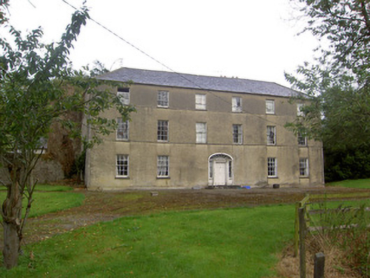 Churchtown Housecountry house · 1425 yd
 Ballyhoura WayWalking route · 1.4 mi
 Churchtown TrailsVisitor information · 2.1 mi
 Templeconnell Castle (in Ruins)Castle, tower house · 2.5 mi
 Battle of LiscarrollMajor battlefield · 2.9 mi
 Lady's WellSpring · 3.7 mi
 Buttevant Rail DisasterMemorial · 3.9 mi