What is recorded here
Fairy fort in Raskill, County Cavan: a circular rath with a broad earthen bank and ditch, thirty-three metres across, vanished when a machine levelled it in 1952. The operators struck huge stones hidden inside the bank, as if the ground had been swallowing a wall built by hands too strong for ordinary sense. What those stones guarded, whether a house, a shrine or a boundary marker, the soil kept private. The field is flat now, but the fort is not forgotten; it is waiting to be remembered in the story told at the place where it stood.
Levelled in 1952. Earlier reports (OPW 1969 and 1970) recorded that it comprised a raised circular area (int. diam. 33.6m) enclosed by a substantial earthen bank and a fosse. During levelling operations, very large stones were found in the outer face of the bank (local information). Original entrance was not recognisable. Not visible at ground level.
The above description is derived from the published 'Archaeological Inventory of County Cavan' (Dublin: Stationery Office, 1995). In certain instances the entries have been revised and updated in the light of recent research.
Date of upload/revision: 22 December 2008
The monument record does not grant public access. Check the route and ask the landowner before entering private land.
- What survives
- Recorded monument
Places near here
 Enclosure in PolesEnclosure · 1725 yd
 Font in Lislea (drung Ed)Font · 1.2 mi
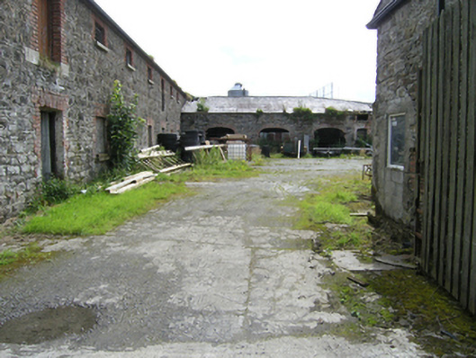 stablesstables · 1.6 mi
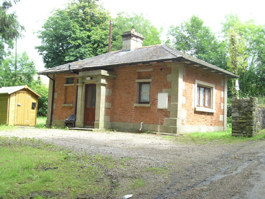 gate lodgegate lodge · 1.6 mi
 Shantemon ForestForest · 1.6 mi
 To The Memory of P.J. DukeMemorial · 1.7 mi
 Castleterra ForestForest · 2.0 mi
 Foundation Stone Blessed by Pope John Paul II 1979Memorial · 2.1 mi
 Aghalackan EastMountain / peak · 2.4 mi
 Aghalackan WestMountain / peak · 2.6 mi
 CastleCastle, unclassified · 3.9 mi
 Garden IsleIslet · 3.9 mi