What is recorded here
Half-hidden beneath a young tree hedge, the ringfort in Rakerin keeps its shape on a hill crest where cattle still move through old human air. Its western bank has been flattened by later fields, yet the southern and northwestern rises still mark a circle wide enough for several lives. The fort has witnessed seasons, storms and forgotten work, while the living boundary above it pretends the ground is ordinary.
On the crest of a hill in pastureland. This circular rath (diam. 31.2m), in fair condition, is defined by a bank that is overlain by a later tree-planted field boundary from NW through E to S. Apart from a slight rise at S and NW, the W half has been levelled.
Compiled by: Galway Archaeological Survey, UCG
Date of upload: 7 March 2018
The monument record does not grant public access. Check the route and ask the landowner before entering private land.
- What survives
- Recorded monument
Places near here
 ‘Tobermacduagh’Holy well · 140 yd
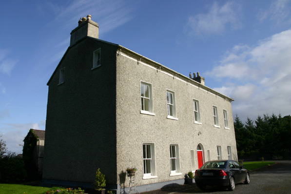 Cloon Housecountry house · 1032 yd
 Saint Columba's Catholic Churchchurch/chapel · 1163 yd
 Enclosure in CarraghEnclosure · 1184 yd
 Bawn in BallyconnellBawn · 1.2 mi
 CastleCastle, unclassified · 1.3 mi
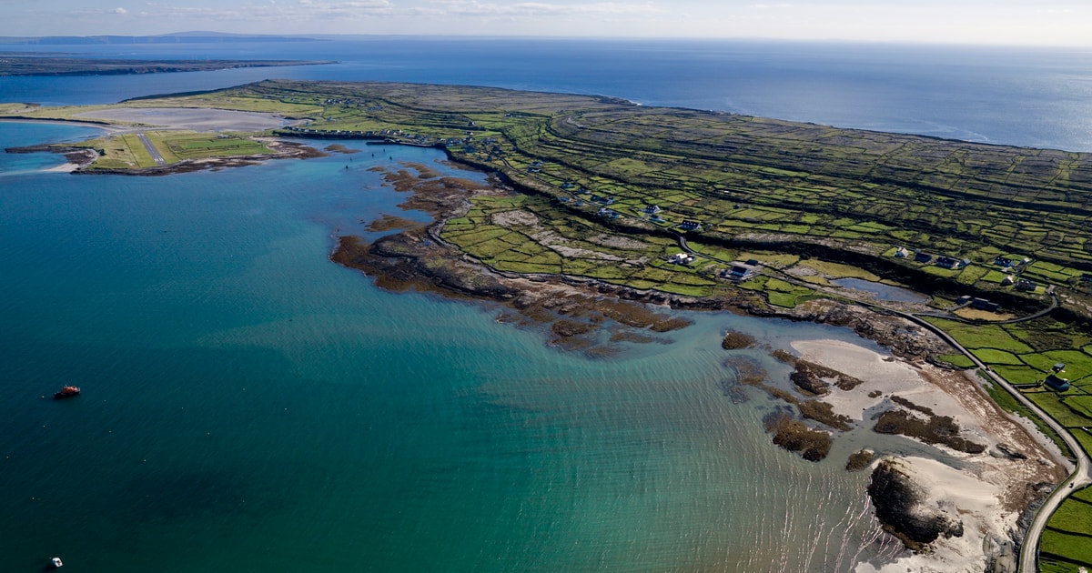 Beagh IslandWood · 1.9 mi
 Rick's IslandWood · 2.1 mi
 Castle IslandIsland · 2.4 mi
 Holly IslandIslet · 2.4 mi
 Kilmacduagh Monastic SiteVisitor information · 4.6 mi
 Kilmacduagh MonasteryHeritage attraction · 4.6 mi