What is recorded here
No visible surface trace survives, yet the ghost of a thirty-metre circle still shadows the Rakerin pasture on aerial photographs. The fort vanished in the early 1960s when a bulldozer flattened its last ring of bushes and low bank.
On a rise in pastureland. Marked on the OS 6-inch maps as a circular enclosure (diam. c. 30m). According to local information this monument was bulldozed in the early 1960s when it survived as a ring of bushes and possibly a low bank. No visible surface trace survives but its outline is visible on aerial photography taken in 2011 (Google Earth 2019).
Compiled by: Galway Archaeological Survey, UCG
Date of upload: 17 June 2019
The monument record does not grant public access. Check the route and ask the landowner before entering private land.
- What survives
- Recorded monument
Places near here
 Enclosure in CarraghEnclosure · 709 yd
 ‘Tobermacduagh’Holy well · 920 yd
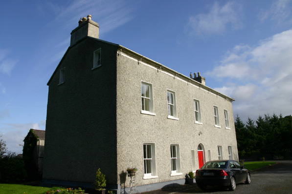 Cloon Housecountry house · 993 yd
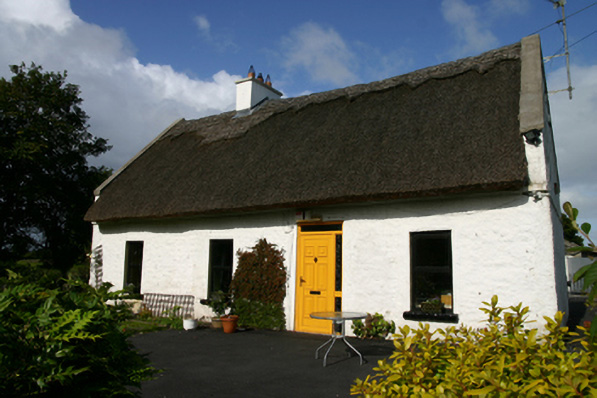 Roseville Cottagehouse · 1607 yd
 Cavalry Bks on Site of Gort CastleCastle, unclassified · 1.0 mi
 Kiltartan Castle (in ruins)Castle, Anglo-Norman masonry castle · 1.3 mi
 Holm OakHolm Oak · 2.0 mi
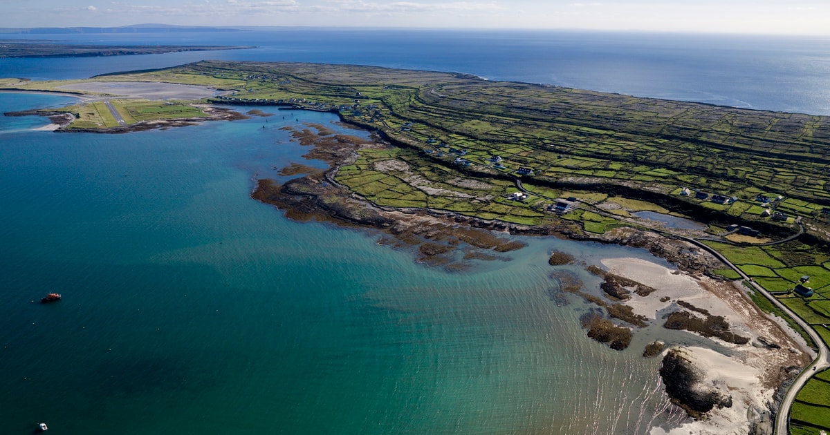 Beagh IslandWood · 2.0 mi
 Castle IslandIsland · 2.4 mi
 Holly IslandIslet · 2.5 mi
 Kilmacduagh Monastic SiteVisitor information · 4.2 mi
 Kilmacduagh MonasteryHeritage attraction · 4.2 mi