What is recorded here
Thirty-five metres across, the Rakane fort stands as a raised circle where earthen banks still guard a forgotten entrance. Ploughs and time have flattened much of the ridge, yet the western ditch survives to hint at the boundary once drawn around human life. The land remembers the shape even when the people have vanished into legend.
Marked 'Fort' on OS 1836 and 1876 eds. Raised circular area (int. diam. c. 35m) enclosed by the remains of a substantial earthen bank and slight traces of a fosse identifiable only at WNW. Both enclosing elements have been levelled from NW-E-S. Original entrance not recognisable.
The above description is derived from the published 'Archaeological Inventory of County Cavan' (Dublin: Stationery Office, 1995). In certain instances the entries have been revised and updated in the light of recent research.
Date of upload/revision: 22 December 2008
The monument record does not grant public access. Check the route and ask the landowner before entering private land.
- What survives
- Recorded monument
Places near here
 Cabragh RingfortArchaeological place · 1244 yd
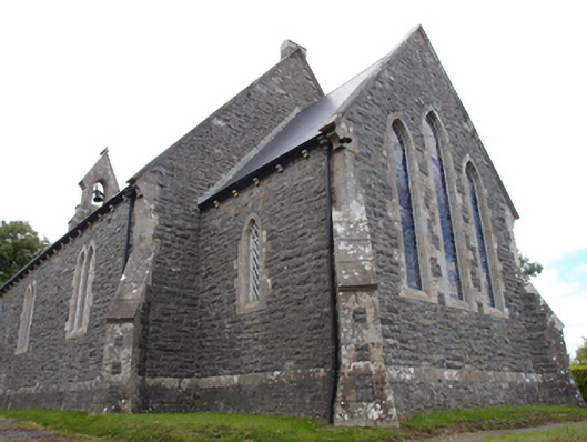 St Mark's Church of Ireland Churchchurch/chapel · 1415 yd
 Not inidicatedChurch · 1463 yd
 Cordoagh Glebe Upper ForestForest · 1589 yd
 Cornanurney ForestForest · 1.1 mi
 CastleCastle, unclassified · 1.2 mi
 CornanurneyMountain / peak · 1.3 mi
 Errigal RingfortArchaeological place · 1.4 mi
 Giants GraveArchaeological place · 1.7 mi
 Site of Old CastleCastle, unclassified · 1.8 mi
 Graveyard in Drumgoon (clankee By.)Graveyard · 2.0 mi
 CorickMountain / peak · 2.1 mi